What is recorded here
In a bowl-shaped recess on the NW slopes of Knocknadobar above Coonanna Harbour. Three huts on an island in a stream, and a fourth on the mountain slope a little above the main group.
(4) KE069-003003-; On a mountain slope above the main group, a hut, of roughly square plan with an entrance, .45m wide, at E. The walls are of more regular construction than the lower huts and incorporate three well-built, corbelled chambers, two of which retain their roofing lintels. D: 2.8m. H: 1.05m. T: .7m (Henry 1957, 66-7).
The above description is derived from A. O'Sullivan and J. Sheehan (compilers), 'The Iveragh peninsula: an archaeological survey of South Kerry'. Cork University Press (1996), no. 1333. In certain instances the entries have been revised and updated in the light of recent research.
Date of upload: 1 August 2013
The monument record does not grant public access. Check the route and ask the landowner before entering private land.
- What survives
- Recorded monument
Places near here
 Knocknadobar North TopMountain / peak · 1137 yd
 KnocknadobarMountain / peak · 1540 yd
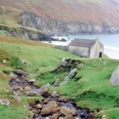 Hut site in Dooneen (iveragh By.)Hut site · 1.0 mi
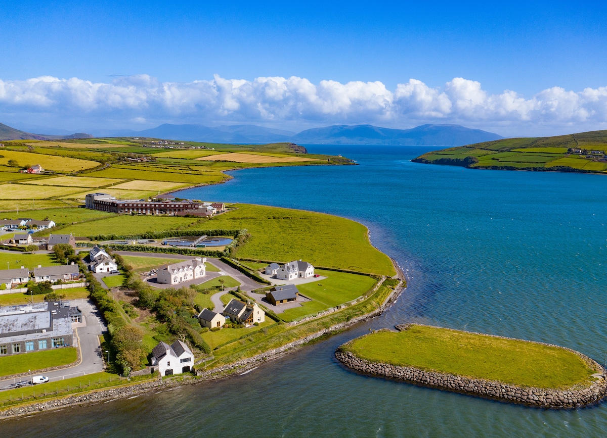 Hut site in BallydarrigHut site · 1.3 mi
 O'Connell Monumentmonument · 3.0 mi
 Carhan Househouse · 3.0 mi
 Short Castle (Site of)Castle, unclassified · 4.1 mi
 Foughil IslandIslet · 4.2 mi
 Ballycarbery CastleRuins · 4.2 mi
 OutlinedBawn · 4.2 mi
 Kells BeachBeach / strand · 4.4 mi
 Soft Tree-fernSoft Tree-fern · 4.5 mi