What is recorded here
Situated on flat pasture in an upland area with an old river bed to the S. Not visible at ground level.
The above description is derived from 'The Archaeological Inventory of County Tipperary. Vol. 1 - North Tipperary' compiled by Jean Farrelly and Caimin O'Brien (Dublin: Stationery Office, 2002). In certain instances the entries have been revised and updated in the light of recent research.
Date of upload/revision: 22 September 2008
The monument record does not grant public access. Check the route and ask the landowner before entering private land.
- What survives
- Recorded monument
Places near here
 IndicatedEnclosure · 796 yd
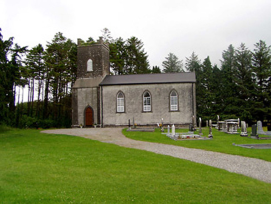 Kilfithmone Churchchurch/chapel · 864 yd
 Cloghaneena Castle (in ruins)Castle, tower house · 1051 yd
 Killoskehan Castlegate lodge · 1120 yd
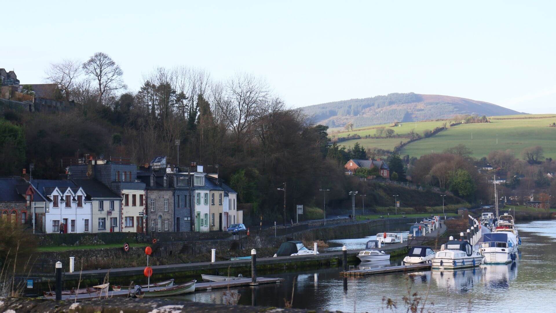 Fishmoyne Ho.Castle, unclassified · 1.0 mi
 ToberlahanHoly well · 1.1 mi
 Kilvilcorris BogForest · 1.3 mi
 GortagarryMountain / peak · 2.9 mi
 Morris's GroveForest · 3.0 mi
 Devil's Bit MountainMountain / peak · 3.5 mi
 Brookley Househouse · 1442 yd
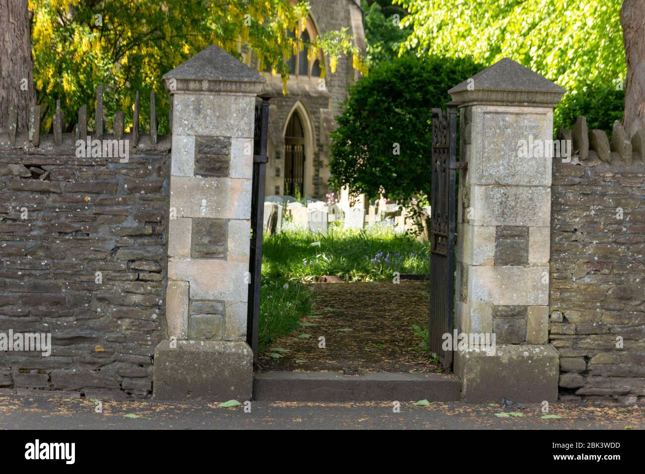 Church (in Ruins) Grave YardChurch · 1.0 mi