What is recorded here
Situated at the base of the W-facing slope of a low glacial knoll in undulating countryside with a nearby fulacht fia (TN036-050/023) 5m to the W. A ploughed-out fulacht fia was revealed during topsoil stripping and consisted of a subcircular trough (dims. 1.7m N-S x 1.44m E-W; 0.12m D) partly sealed by a ploughed-out spread (dims. 4.53m x 7.5m x 0.18m D) of burnt sandstone, silt and charcoal. (Stevens 2000, 198)
Compiled by: Caimin O'Brien.
Date of upload: 22 September 2008
The monument record does not grant public access. Check the route and ask the landowner before entering private land.
- What survives
- Recorded monument
Places near here
 Killoran Housecountry house · 1020 yd
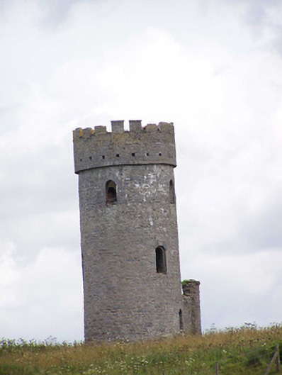 Killoran Towerfolly · 1391 yd
 Fulacht fia in DerryvilleFulacht fia · 1407 yd
 Burnt spread in DerryvilleBurnt spread · 1519 yd
 Bawn in Castletown (moyne Par.)Bawn · 2.2 mi
 LisdonowleyCastle, ringwork · 2.2 mi
 Tullow HillMountain / peak · 3.2 mi
 Clonmeen WoodWood · 4.9 mi
 Cnoc SeanrathaMemorial · 5.1 mi
 Pheasant IslandHeritage attraction · 7.3 mi
 European ashEuropean ash · 7.4 mi
 Lár na PáirceMuseum · 7.4 mi