
What is recorded here
Single-arch former railway bridge, built c. 1905, carrying road over former Donegal Town to Ballyshannon narrow gauge railway line. Railway lines now out of use with tracks removed (c. 1960). Squared rubble stone construction to spandrels and abutments. Segmental-headed arch with mildly rock-faced voussoirs to arch and with squared coursed masonry to arch barrel. Squared rubble stone parapets with cement coping. West end of parapet to the south-west now damaged. Squared rubble stone retaining walls to either side of bridge and former railway cutting having squared and mildly rock-faced terminating piers (on square-plan). Tarmacadam deck with grass verges. Located to the north of Ballyshannon, a short distance to the south of Rossnowlagh Church of Ireland church (see 40910303).
This former railway bridge retains much of its original form and character despite the closure of the line in 1960. The good-quality mildly rock-faced voussoirs to the arch is a typical feature of late Victorian and Edwardian railway engineering and architecture in Ireland. It survives in relatively good condition, which is testament to the quality of its original construction. It was originally built by the Donegal Railway Company as part of the Donegal Town to Ballyshannon narrow gauge railway line, which opened in September 1905 and closed completely on January 1st 1960. This railway bridge forms part of a group of structures associated with this former narrow gauge railway line in the Ballintra/Rossnowlagh area and is an integral element of the built heritage and transport history of County Donegal.
This does not grant access. Most recorded buildings are privately owned; view them only from public ground unless the owner allows entry.
Places near here
 St. John's Church of Ireland Churchchurch/chapel · 106 yd
 Killinangel Beg Hilltop Fairy FortFairy fort / earthen ringfort · 309 yd
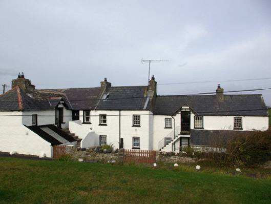 Hill Househouse · 1020 yd
 Rosscat Drumlin-Slope Fairy FortFairy fort / earthen ringfort · 1379 yd
 RossnowlaghOfficial bathing water · 1.1 mi
 Castle (Site of)Castle, unclassified · 2.0 mi
 Kilbarron Old Church GraveyardGraveyard · 2.3 mi
 HawthornHawthorn · 2.3 mi
 Dark Cliffs at KilbarronPublicly named cliff or headland · 2.8 mi
 Kilbarron Castle in ruinsCastle, tower house · 2.8 mi
 MurvaghOfficial bathing water · 3.6 mi
 St Anne's Church GraveyardGraveyard · 3.6 mi
Other information
Photo: National Inventory of Architectural Heritage · Website use allowed for educational or private purposes with source credit