What is recorded here
Indicated is a fairy fort or earthen ringfort in Killerr, County Roscommon, Ireland. It occupies a gentle southwest-facing slope as a circular grass-covered area roughly fifty-four metres across. A slight earthen bank and hedge define the perimeter, while gaps appear at the north-northwest and south-southwest. Archaeological testing nearby failed to produce related material, and landscaping eroded part of the north-northwest perimeter.
On a gentle SW-facing slope. Circular grass-covered area (diam. 54.1m NW-SE; 52m NW-SE) defined by a slight earthen bank (Wth 1.4-2.4m; int. H 0.5-0.9m; ext. H 0.6-1.1m) and hedge. There is no visible fosse, but there is a shallow ditch inside the bank (Wth of top 3.3m; Wth of base 1.4m; D 0.15m) W-NNW which is probably modern. There are gaps in the perimeter at NNW (Wth 1m) and SSW (Wth 3.1m). Archaeological testing (02E1824) immediately to the N failed to produce any related material (Read 2004d), and the perimeter NW-NW was eroded in landscaping. Further testing (04E1548) c. 30m to NE failed to produce archaeological material (Read 2007g).
Compiled by: Michael Moore
Date of upload: 24 August 2010
The monument record does not grant public access. Check the route and ask the landowner before entering private land.
- What survives
- Recorded monument
Places near here
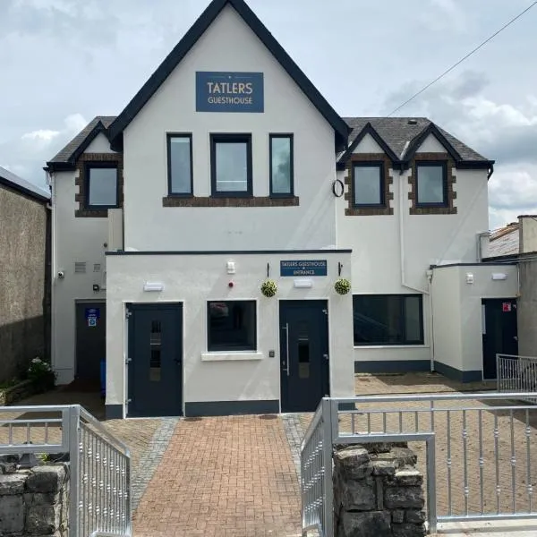 IndicatedFairy fort / earthen ringfort · 652 yd
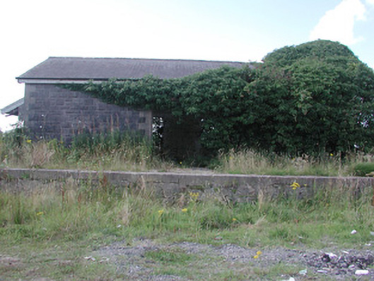 Ballymoe Railway Stationstore/warehouse · 1.3 mi
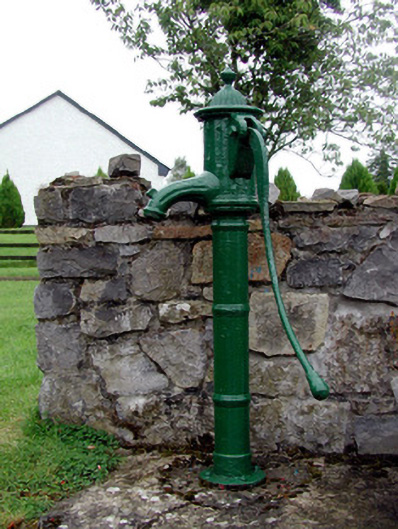 Historic buildingOfficially recorded historic building · 1.6 mi
 Embanked enclosureFairy fort / earthen ringfort · 1.6 mi
 CastleCastle, Anglo-Norman masonry castle · 1.9 mi
 HawthornHawthorn · 2.6 mi
_-_geograph.org.uk_-_1952978.jpg?width=1280) Bawn in Glinsk (ballymoe By.)Bawn · 3.8 mi
Bawn in Glinsk (ballymoe By.)Bawn · 3.8 mi Site of Killomaine Grave YardArchaeological place · 4.0 mi
 Silver IslandIslet · 5.5 mi
 Workhouse MemorialMemorial · 5.8 mi
 European ashEuropean ash · 6.9 mi
 Mount MaryMountain / peak · 9.0 mi