What is recorded here
In flat, damp pasture bordering the N bank of the Fiddaunglass stream.
When discovered in 1996, reclamation works had recently been carried out in the field, and this possible burnt mound was evident as a surface spread (Diam. c. 4m) of burnt material on the river bank. Two slabs, set on edge, protruded from the sod on the S limit of the spread. The spread was truncated on the N side by a sunken track cut into river bank to allow farm stock access to the water. It is one of a linear cluster of fulachtaí fia/burnt mounds located along the course of the stream. A burnt mound (MA038-195----) is 50m to S and another (MA038-197----) is 30m to N.
Compiled by: Jane O'Shaughnessy
Date of upload: 21 August 2019
Burnt mound in Killeen is a Bronze Age ritual or domestic feature, likely used for heat-related activities such as cooking or ceremonial purposes. Its significance lies in providing evidence of early human settlement and land use in the region during the Bronze Age.
The monument record does not grant public access. Check the route and ask the landowner before entering private land.
- What survives
- Recorded monument
Places near here
 LisheenFairy fort / earthen ringfort · 211 yd
 IndicatedFairy fort / earthen ringfort · 342 yd
 CastleCastle, unclassified · 1.1 mi
 Ballyduffy CastleCastle, unclassified · 1.1 mi
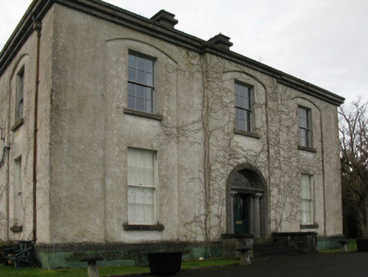 Castlehill Housefarm house · 1.1 mi
 Church in ruinsChurch · 1.2 mi
 Grave of the KingsArchaeological place · 1.8 mi
 Castle IslandIslet · 1.8 mi
 Titanic Memorial ParkMemorial · 1.9 mi
 Roe IslandIslet · 2.1 mi
 NephinMountain / peak · 3.5 mi
 FarbreigaMountain / peak · 7.0 mi