
What is recorded here
Indicated is a hidden fairy fort on a narrow Mayo knoll, wrapped in hazel and touched by the Fiddaunglass River. Its oval scarped chamber has no standing wall, yet a collapsed underground passage still breathes beneath the western soil. The fort may have been a boundary marker, a refuge or a trap for the careless, using the land's own slope to keep its secret.
In a thicket of hazel trees, located on top of an elongated knoll, at its W end. The knoll forms an island of elevated ground surrounded by lowlying, flat wettish grassland, and is bordered on the S side by the Fiddaunglass River, which coincides with the S boundary of the townland.
The rath is shown as a circular enclosure on the 1837 OS 6-inch map; it is not shown on the 1922 edition. Oval area (17.6m NNE–SSW; 26.9m WNW–ESE) defined by a scarp (ext. H 2m; Wth slope 4.8m at W). The enclosure encompasses the full width of the broad W end of the knoll, and utilises the contours of the steep natural slope at SE–W–NE to define and enhance the enclosing scarp. No upstanding bank remains. Stones protrude from the top edge of the scarp in parts.
A gap (Wth 2.5-3m) in the scarp at ESE marks the original entrance. It faces the narrow spine of the ridge, allowing a gradually descent towards the ESE.
The interior slopes down slightly from NW to SE. There is a Man-made underground passage (MA039-155) in the W half, indicated by three areas of surface collapse.
Compiled by: Jane O'Shaughnessy
Date of upload: 6 August 2019
The monument record does not grant public access. Check the route and ask the landowner before entering private land.
- What survives
- Recorded monument
Places near here
 LisheenFairy fort / earthen ringfort · 193 yd
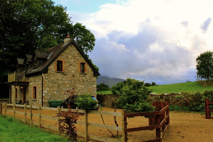 Enclosure in Castlehill (tirawley By., Crossmolina. Par.)Enclosure · 381 yd
 CastleCastle, unclassified · 1665 yd
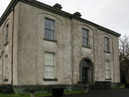 Castlehill Housefarm house · 1683 yd
 Ballyduffy CastleCastle, unclassified · 1.0 mi
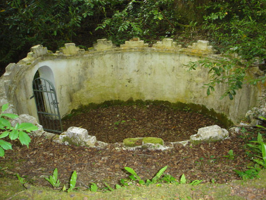 Enniscoe Housemausoleum · 1.2 mi
 Castle IslandIslet · 1.8 mi
 Titanic Memorial ParkMemorial · 1.8 mi
 Grave of the KingsArchaeological place · 2.0 mi
 Roe IslandIslet · 2.0 mi
 NephinMountain / peak · 3.4 mi
 FarbreigaMountain / peak · 6.8 mi
Other information
Photo: Credit not shown in the picture search · Rights wording not checked; contact us if this picture should be removed