
What is recorded here
In pasture, located on a low NE–SW ridge of elevated ground, overlooking an expanse of flat, wettish land to S–SW, which borders the Fiddaunglass River. The S boundary of the townland coincides with the river.
Named ‘Lisheen’ on the 1838 and 1922 OS 6-inch map, this rath consists of a sub-circular area (54m N–S; 53.5m E–W) defined by a substantial, stone-faced bank (Wth 4.2m at WNW; 2m at NE; int. H 0.4m at NWW, 0.55m at NE; ext. H 1.4m at WNW, 0.55m at NE). The dry-stone facing is well preserved on the external face of the bank at W–N, and visible intermittently elsewhere. Remnants are also evident on the inner bank face. At E–SE the bank is truncated by or incorporated into a later linear property fence on a NNE–SSW axis, and another field fence abuts the rath at W. On the SW arc the bank is largely degraded to a scarp, but at SW–N it retains a pronounced external slope (max. ext. H 2m at SW), compensating for a natural fall of ground.
The interior slopes down from centre to S–SW. Much of the space in the E half is taken up with a square enclosure used as a children’s burial ground (MA038-089002-).
The enclosing bank is thickly ringed by ash trees, blackthorn, hawthorn and brambles, and is eroded in parts by animal burrows. A blackthorn thicket encroaches on the SW quadrant of the interior, and overgrowth also obscures the children’s burial ground.
There is an enclosure (MA038-090----) 160m to NE, and a rath (MA038-091----) 115m to SE.
Compiled by: Jane O'Shaughnessy
Date of upload: 1 August 2019
The monument record does not grant public access. Check the route and ask the landowner before entering private land.
- What survives
- Recorded monument
Places near here
 IndicatedFairy fort / earthen ringfort · 193 yd
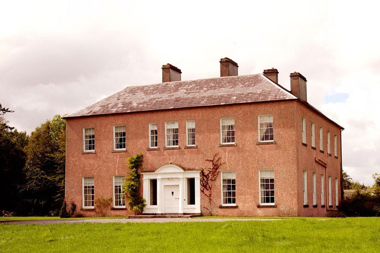 Enclosure in Castlehill (tirawley By., Crossmolina. Par.)Enclosure · 765 yd
 CastleCastle, unclassified · 1.0 mi
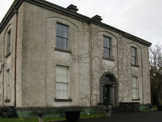 Castlehill Housefarm house · 1.1 mi
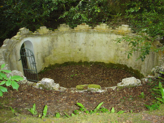 Enniscoe Housemausoleum · 1.1 mi
 Ballyduffy CastleCastle, unclassified · 1.1 mi
 Castle IslandIslet · 1.7 mi
 Grave of the KingsArchaeological place · 1.9 mi
 Titanic Memorial ParkMemorial · 1.9 mi
 Roe IslandIslet · 2.0 mi
 NephinMountain / peak · 3.5 mi
 FarbreigaMountain / peak · 6.9 mi
Other information
Photo: Credit not shown in the picture search · Rights wording not checked; contact us if this picture should be removed