What is recorded here
In pasture, located on top of a ridge, with good view, most extensive to NE where the ground falls away into a valley of flat, lowlying wettish land, with the junction of the Gweestion River with its tributary, the Pollagh located 350m to NE.
This rath is not shown on the 1838 OS 6-inch map; it is depicted as a roughly circular enclosure outlined by a solid line on the 1931 edition.
Circular platform (26.8m E−W; 26.7m N−S) defined by an earthen bank (Wth 3.3m; int. H 0.55m at N, 0.35m at S; ext. H 1.6m at N & S) which has a low, rather narrow stony internal rim. There is no clearly defined entrance –it may have been along the NE arc where the scarp is lowest (H 0.95m), but only a narrow, eroded cattle gap is evident here now
Interior is level, grassy; a single large stone protrudes from the surface in the S half. The bank is ringed with hawthorn trees. Several depressions/areas of disturbance to W and S of the rath appear to be the result of small scale quarrying in the past.
Killedan Church (MA071-169----) is located 400m to E on the banks of the Pollagh River.
Compiled by: Jane O’Shaughnessy
Date of upload: 14 September 2021
The monument record does not grant public access. Check the route and ask the landowner before entering private land.
- What survives
- Recorded monument
Places near here
 Killedan ChurchChurch · 462 yd
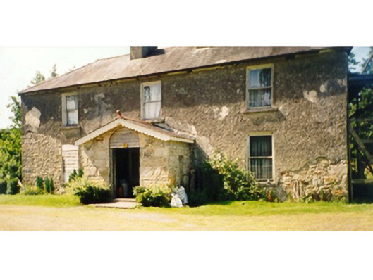 Killedan Housefarm house · 521 yd
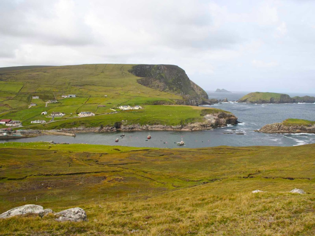 IndicatedFairy fort / earthen ringfort · 849 yd
 Thorn CaveCave · 1.6 mi
 CrossCross · 1.6 mi
 I'll Send You The FareMemorial · 2.2 mi
 Kiltimagh MuseumMuseum · 2.3 mi
 Carrowbeg WoodWood · 3.5 mi
 CashlankeeghCastle, unclassified · 3.7 mi
 Brabazon WoodsForest · 4.9 mi
 Youth Memorial GardenMemorial · 4.9 mi
 Shonagawna Castle in RuinsCastle, unclassified · 5.1 mi