What is recorded here
A deposit of brushwood on the field surface (Wth 1.31m; D 0.44m). The brushwood (diam. 0.02-0.05m) is loosely deposited. The wood is in moderate condition and the end of one piece has a metal-cut wedge point. The site is set in poorly humified Sphagnum peat with Eriophorum and roots. This is one of a number of possibly related sites forming a line running NW-SE across the bog including SMR WM039-052---- located 15m to the E and SMR WM038-053---- 16m to the W.
Date of upload: 08 August 2013
The monument record does not grant public access. Check the route and ask the landowner before entering private land.
- What survives
- Recorded monument
Places near here
 StructureStructure, peatland · 894 yd
 Partially hachuredFairy fort / ringfort · 1255 yd
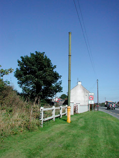 vent pipevent pipe · 1435 yd
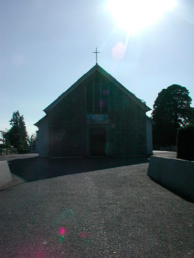 Saint Stephen's Catholic Churchchurch/chapel · 1485 yd
 Tyrrellspass CastleCastle, tower house · 1655 yd
 Montrath Castle (in ruins)Castle, tower house · 1.8 mi
 Ardan WoodWood · 2.4 mi
 Lackan HillMountain / peak · 2.8 mi
 Bonfire HillMountain / peak · 3.4 mi
 Bracklin WoodWood · 4.6 mi
 Finnrenashark Holy WellSpring · 4.6 mi
 Croghan HillMountain / peak · 4.6 mi