What is recorded here
Indicated is a burial ground in County Louth where a scarped bank east of a house may mark a lost graveyard beside an old church. Stubbs named the place in 1910, but the land has kept more of its story than people remember. It is the kind of quiet field where death once belonged to everyone, and the living learned not to disturb what the soil had already taken.
The following description is derived from both the published 'Archaeological Inventory of County Louth' (Dublin: Stationery Office, 1986) and the 'Archaeological Survey of County Louth' (Dublin: Stationery Office, 1991). In certain instances the entries have been revised and updated in the light of recent research.
Date of upload/revision: 17 July 2007
Stubbs (CLAJ 1910, 290) refers to old church in this townland. Scarped bank to E of house may indicate traces of graveyard.
The monument record does not grant public access. Check the route and ask the landowner before entering private land.
- What survives
- Recorded monument
Places near here
 Enclosure in DalesEnclosure · 755 yd
 Enclosure in ParsonstownEnclosure · 1076 yd
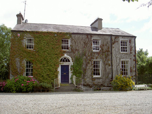 Walshestown Housecountry house · 1251 yd
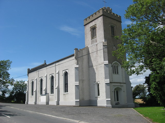 Catholic Church of Saint Peter and Saint Paulchurch/chapel · 1435 yd
 Chapel (in Ruins), GraveyardChurch · 1.8 mi
 Castle RuinsCastle, tower house · 2.1 mi
 Moneyveg WoodForest · 2.2 mi
 Graveyard in DysartGraveyard · 2.6 mi
 Sweet baySweet bay · 2.6 mi
 BarmeathCastle, tower house · 2.6 mi
 Tullydonnell HillMountain / peak · 3.6 mi
 MonasterboiceEarly monastic site · 5.5 mi