What is recorded here
Killarida is a small townland in County Kerry, Ireland. Enclosure in Killarida is a recorded land boundary or excluded area within that townland. The name points to a local place rather than a worldwide unique site.
KE010-048---- appears on the 1841-42 OS map as a small circular enclosure (KE010-048001-) and is marked 'Kyle Burial Ground'. It does not appear on the 1939 map. No surface trace survives today.
The above description is derived from C. Toal, ‘North Kerry Archaeological Survey’. Dingle. Brandon in association with FAS Training and Employment Authority (1995), no. 859. In certain instances the entries have been revised and updated in the light of recent research.
Date of upload: 3 August 2013
The monument record does not grant public access. Check the route and ask the landowner before entering private land.
- What survives
- Recorded monument
Places near here
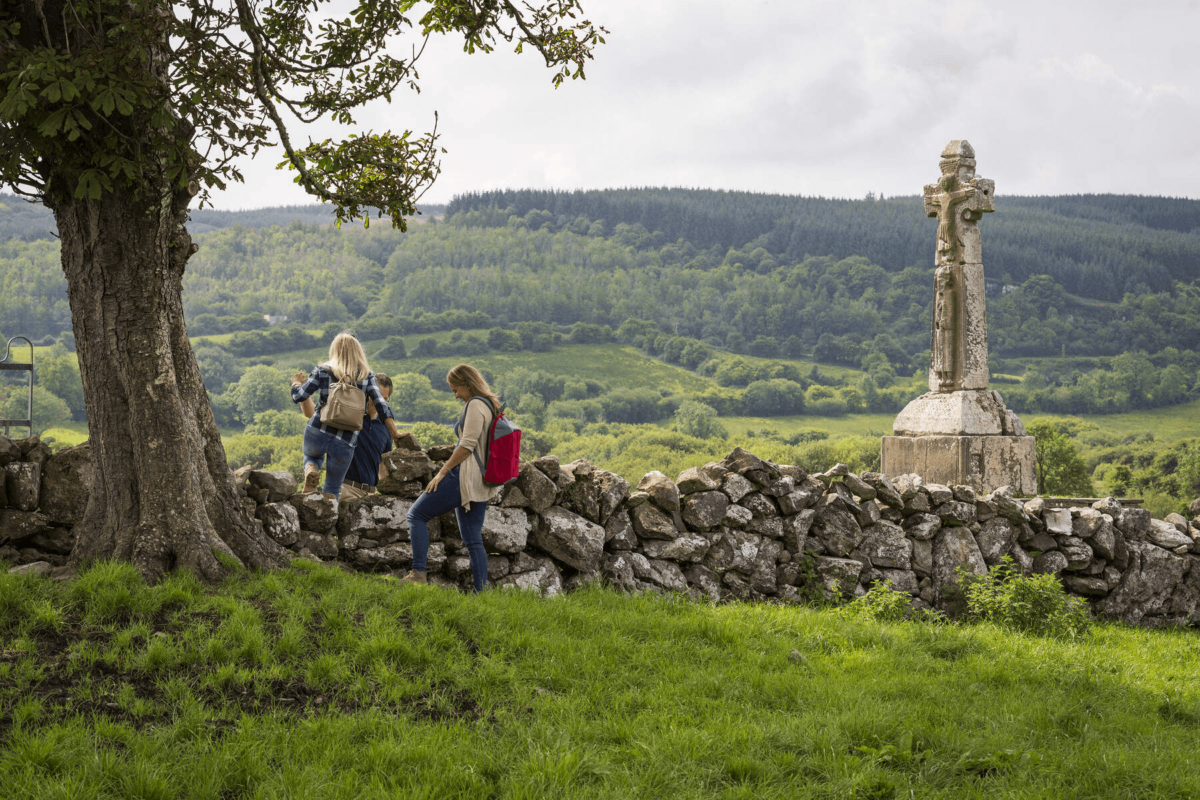 Dysert Church (in ruins)Church · 1566 yd
 Enclosure in BallyouneenEnclosure · 1.0 mi
 Enclosure in KilteeanEnclosure · 1.1 mi
 Bohergarraunbaun Dotted outlineRoad, unclassified togher · 1.5 mi
 Bawn in GlouriaBawn · 3.2 mi
 Bawn in BallydonohoeBawn · 3.4 mi
 Lartigue MonorailMuseum · 4.1 mi
 John B. Keane GroveMemorial · 4.2 mi
 Kerry Writers' MuseumMuseum · 4.3 mi
 Bryan MacMahonMemorial · 4.3 mi
 Long StrandBeach / strand · 5.3 mi
 Men's BeachBeach / strand · 5.9 mi