What is recorded here
This site, situated in low-lying land, is roughly heart shaped. However, the S to W bank has been cut and levelled for c 14m by farm buildings. A fieldbank running in a NNE-SSW direction lies immediately to the E. This heart-shaped enclosure (KE010-046002-) is enclosed overall by a fairly well-defined earthen bank, with an internal diameter of 24m N-S and 23m E-W. The bank is 4m-6m wide at the base, .4m-1.2m high internally and c.5m high externally. This site is marked on the 1939 OS map as 'Burial Ground (disused)'.
The above description is derived from C. Toal, ‘North Kerry Archaeological Survey’. Dingle. Brandon in association with FAS Training and Employment Authority (1995), no. 857. In certain instances the entries have been revised and updated in the light of recent research.
Date of upload: 3 August 2013
The monument record does not grant public access. Check the route and ask the landowner before entering private land.
- What survives
- Recorded monument
Places near here
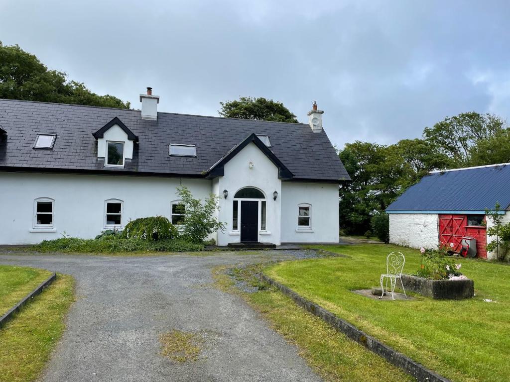
 Enclosure in BallyouneenEnclosure · 1462 yd
 Enclosure in KilteeanEnclosure · 1628 yd
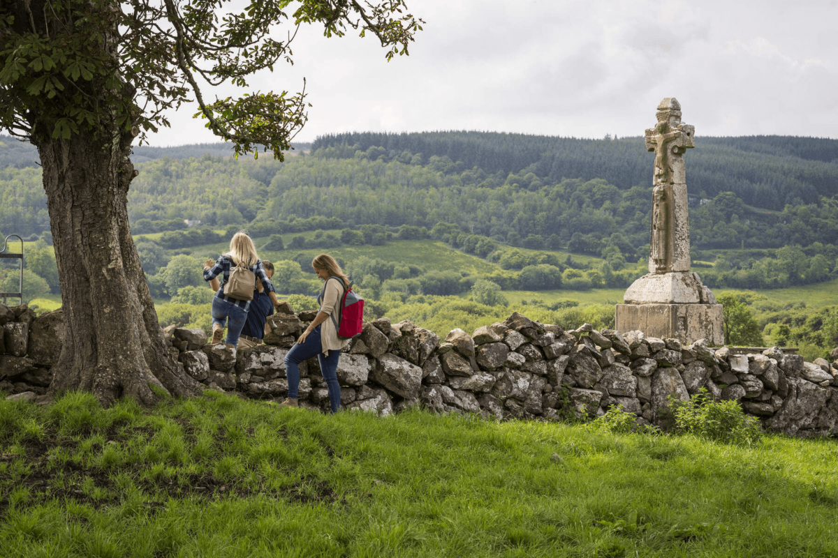 Dysert Church (in ruins)Church · 1715 yd
 Bohergarraunbaun Dotted outlineRoad, unclassified togher · 1.4 mi
 Bawn in GlouriaBawn · 3.2 mi
 Bawn in BallydonohoeBawn · 3.4 mi
 Crazy GolfHeritage attraction · 4.1 mi
 Lartigue MonorailMuseum · 4.3 mi
 John B. Keane GroveMemorial · 4.3 mi
 Bryan MacMahonMemorial · 4.4 mi
 Long StrandBeach / strand · 5.1 mi
 Men's BeachBeach / strand · 5.7 mi