What is recorded here
Killarcan holds a broken fairy fort where a grassy circle and faded earthen banks still mark the edge of human memory. The canal passes twenty metres north, carrying water and trade past a place that may have been defended, hidden, or abandoned before maps learned its name. What is missing has not stopped the land from keeping the shape of what once stood there.
In a low-lying position in an undulating landscape and c. 20m N of the Ballinamore and Ballyconnell canal. This is a grass-covered circular area (int. diam. 37.5m N-S; 35m E-W) defined by an earthen bank (at NW: Wth 4.1m; int. H 0.4m; ext. H 1.35m) separated by an overgrown flat-bottomed fosse (at NW: Wth of base 3.1m) from an outer bank (at NW: Wth 5-6m; int. and ext. H 0.15m). These features survive SW-NW only, the inner feature being reduced to an overgrown scarp to E of a N-S borderless laneway.
The above description is derived from 'The Archaeological Inventory of County Leitrim' compiled by Michael J. Moore (Dublin: Stationery Office, 2003). In certain instances the entries have been revised and updated in the light of recent research.
Date of upload: 23 September 2008
The monument record does not grant public access. Check the route and ask the landowner before entering private land.
- What survives
- Recorded monument
Places near here
 fortsFairy fort / earthen ringfort · 784 yd
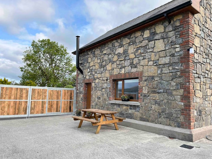 Enclosure in BallinwingEnclosure · 1090 yd
 Leabaidh DermotCave · 1558 yd
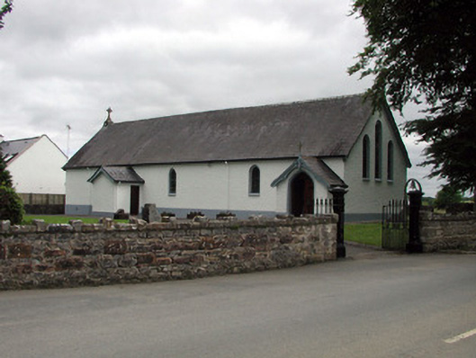 Saint Joseph's Catholic Churchchurch/chapel · 1697 yd
 Shannon-Erne WaterwayVisitor information · 1746 yd
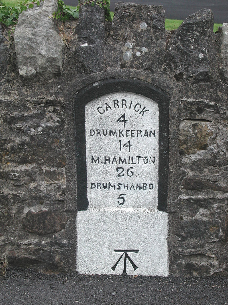 milestone/milepostmilestone/milepost · 1.0 mi
 Sit of Breifny CastleCastle, tower house · 1.0 mi
 Sheemore Ambush MemorialMonument · 1.3 mi
 Battle of Áth an Chipbattle · 1.5 mi
 PortCastle, unclassified · 1.7 mi
 InishnagonIsland · 2.0 mi
 Derreenargan WoodWood · 3.8 mi