What is recorded here
Half-buried in a drumlin's west crest, Fprt holds a D-shaped platform of grass and rushes, thirty metres long and twenty-six wide. A field bank cuts across its south edge while another curves east to avoid the monument, as if the land itself refused to touch what was already sacred. The small mound at north may be spoil from digging, or a marker left behind when the fort stopped being used. Whatever hands shaped it, they worked quickly and vanished, leaving only a shallow scar and a boundary the living still respect.
Situated at the W-facing crest of a drumlin. This is a grass and rush-covered D-shaped platform (dims 30m NW-SE; 26.5m NE-SW) defined by a slight scarp and truncated by an ENE-WSW field bank at S, but a N-S field bank curves E to avoid the monument NE-E. There is a small grass-covered mound (dims 7m x 6m; H 0.5m) outside the perimeter at N which is probably spoil.
The above description is derived from 'The Archaeological Inventory of County Leitrim' compiled by Michael J. Moore (Dublin: Stationery Office, 2003). In certain instances the entries have been revised and updated in the light of recent research.
Compiled by: Michael Moore
Date of upload: 23 September 2008
Amended: 6 December, 2019
The monument record does not grant public access. Check the route and ask the landowner before entering private land.
- What survives
- Recorded monument
Places near here
 Sweathouse in CloonfinnanSweathouse · 763 yd
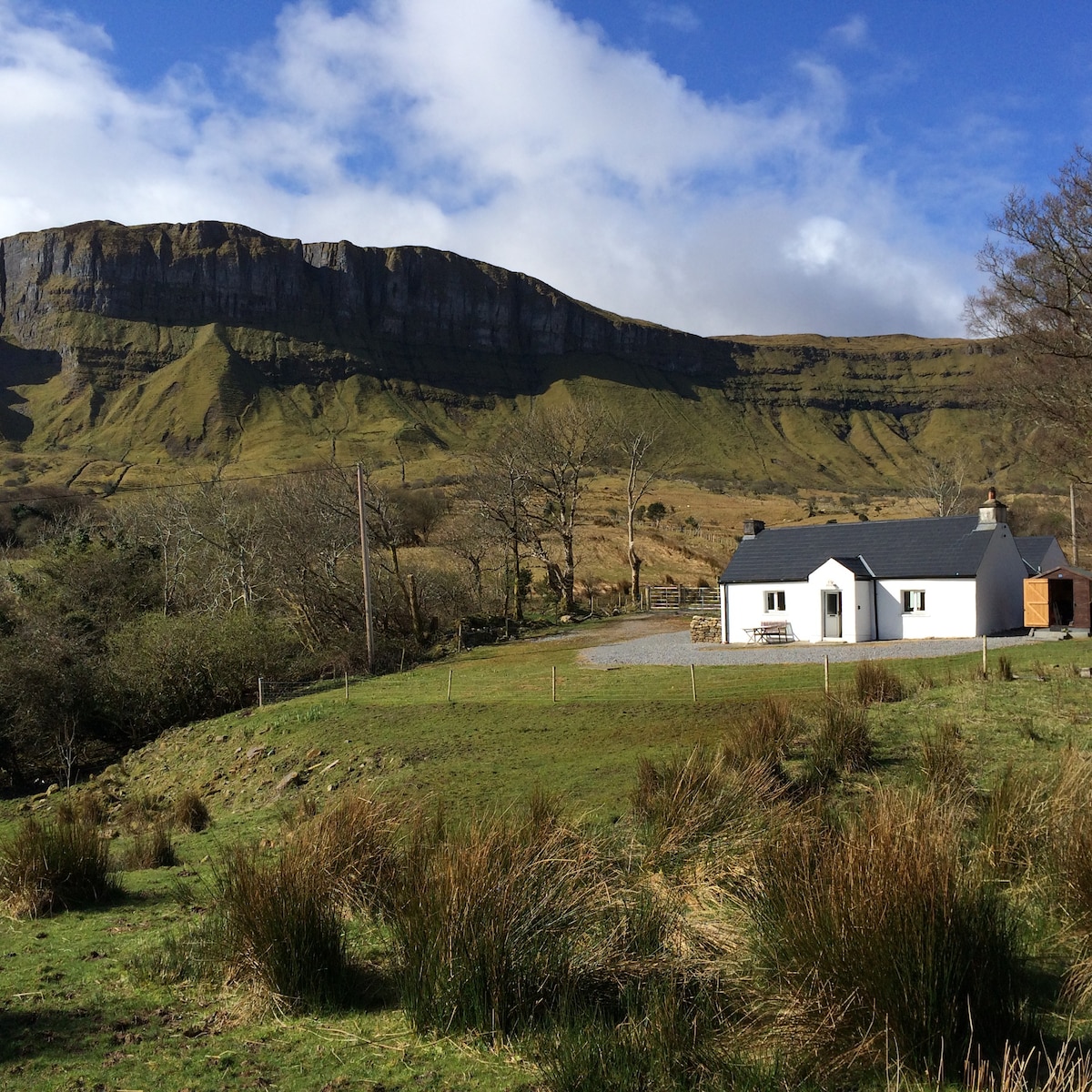 IndicatedFairy fort / earthen ringfort · 1044 yd
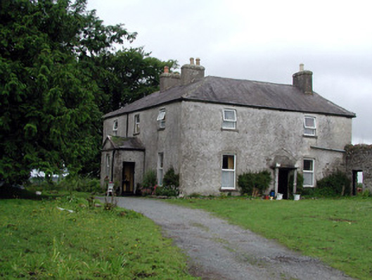 Gort Housefarm house · 1.3 mi
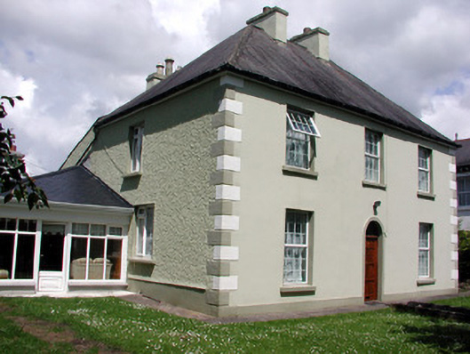 Fortview Househouse · 1.6 mi
 Turlough O'Carolan MonumentHeritage attraction · 1.9 mi
 Monkey-puzzleMonkey-puzzle · 2.8 mi
 TuliptreeTuliptree · 2.8 mi
 CastleCastle, tower house · 2.9 mi
 Little IslandIslet · 3.0 mi
 Duck IslandIslet · 3.0 mi
 Giant's GraveArchaeological place · 3.1 mi
 Tom Dunphy MemorialMemorial · 3.3 mi