What is recorded here
Grave Yard stands on a NE-facing slope above the Flesk River in County Kerry, where a random rubble wall has held breath since 1793. The oldest stones cluster north around the church while newer graves stretch south, suggesting generations kept returning rather than leaving. The rounded SE corner softens the rectangle into something lived-in, as if the boundary itself learned mercy after centuries of burying the same valley people.
In pasture, on a NE-facing slope in the valley of the Flesk River. The graveyard is roughly rectangular in plan (50m N-S; 30m E-W) and enclosed by a random rubble stone wall with vertical stone coping. The SE corner is rounded. The oldest inscribed headstones are at N (the earliest is dated 1793) around the church (KE067-057----); several uninscribed grave-markers and chest-tombs are also in this area. More recent burials occur at S. The entrance gate is in the W wall.
Compiled by: Elizabeth Byrne, Ursula Egan and Sheila Ronan, Archaeological Survey Unit, University College, Cork.
Date of upload: 31 January 2011
The monument record does not grant public access. Check the route and ask the landowner before entering private land.
- What survives
- Recorded monument
Places near here
 Killaha Church (in Ruins)Church · 14 yd
 Killaha Castle (in Ruins)Castle, tower house · 391 yd
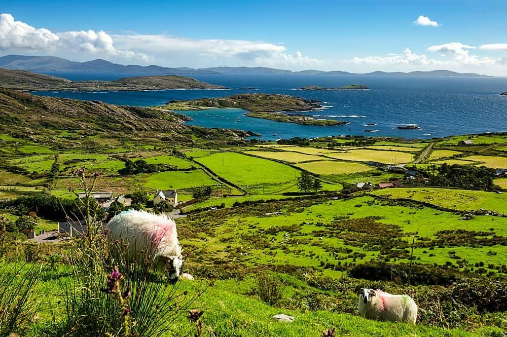 IndicatedChurch · 1271 yd
 SheepfoldEnclosure · 1.2 mi
 Enclosure in DromdiraloughEnclosure · 1.8 mi
 CrohaneMountain / peak · 2.3 mi
 BarraduffMemorial · 3.3 mi
 Killeen MountainMountain / peak · 3.6 mi
 Lissivigeen Stone CircleHeritage attraction · 4.0 mi
 Blue Pool Nature ReserveWood · 4.1 mi
 Mass RockNamed rock · 4.1 mi
 Sheheree Bog Nature ReserveNature reserve · 4.1 mi