
What is recorded here
In the N half of a graveyard (KE067-057001-). A rectangular church (int. 17.6m E-W; 7.6m N-S) built of random rubble sandstone with roughly shaped quoins and limestone detail around the opes. The church is entered through a recent door ope with a concrete lintel at the W end of the S wall, with a single chamfered-edged jamb remaining. In 1841, a pointed door surround formed by chiselled limestone was described (OSL, 187). A round-headed niche built into the wall adjacent to the door contains a stoup (diam. 0.24m; D 0.13m) hollowed out of a single block of sandstone. There is an overgrown splayed window with a blocked ogee-headed light (Wth 0.19m; H 0.55m) at the E end of the S wall. A narrow lintelled window embrasure at the W end of the S wall has a narrow rectangular light (Wth 0.1m). There are the remains of a window (Wth 1.4m) with chamfered jambs in the E wall. In 1841, the E window was described as having two lights (OSL, 187). The overgrown W gable has a rectangular splayed window embrasure with a rectangular light c. 2.5m above ground level. Wall-presses occur at the E end of the S wall, the S end of the E wall and the W end of the N wall. Corbels at the W end of the N and S walls indicate a possible gallery at the W end. The interior is used as a burial ground and the headstones date mainly to the 20th century though there is a medieval cut-stone slab on the ground at the W end of the S wall. This is the remains of the late medieval parish church of Killaha, in ruins for 250 years (ITA).
Compiled by: Elizabeth Byrne, Ursula Egan and Sheila Ronan, Archaeological Survey Unit, University College, Cork.
Date of upload: 31 January 2011
A local church or high cross; wider significance not recorded.
The monument record does not grant public access. Check the route and ask the landowner before entering private land.
- What survives
- Recorded monument
Places near here
 Killaha Castle (in Ruins)Castle, tower house · 402 yd
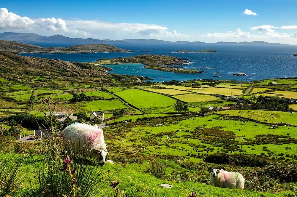 IndicatedChurch · 1284 yd
 Brewsterfield Br.Bridge · 1341 yd
 SheepfoldEnclosure · 1.2 mi
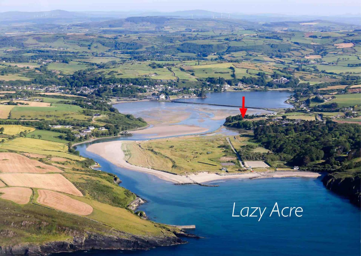 Enclosure in DromdiraloughEnclosure · 1.8 mi
 CrohaneMountain / peak · 2.4 mi
 BarraduffMemorial · 3.3 mi
 Killeen MountainMountain / peak · 3.6 mi
 Lissivigeen Stone CircleHeritage attraction · 3.9 mi
 Blue Pool Nature ReserveWood · 4.1 mi
 Mass RockNamed rock · 4.1 mi
 Sheheree Bog Nature ReserveNature reserve · 4.1 mi
Other information
Photo: Credit not shown in the picture search · Rights wording not checked; contact us if this picture should be removed