What is recorded here
A deposit of roundwoods, brushwood and a radially split oak plank (Wth 2.8m; D 0.28m) in opposing drain faces. The elements are widely spaced and irregularly laid. Woodworking is evidenced by worked ends and branch-trimming on a number of brushwood pieces. The site is situated in well-humified Sphagnum peat with some Eriophorum. The plank was dendrochronologically dated to 956±9 BC or later (Q9521). The site is located c. 1.5m S of SMR OF007-085----, a plank togher which produced dendrochronological dates ranging from 1027±9 BC or later (Q9517) to 954±9 BC or later (Q9518). The two sites may be related. Recorded by the Irish Archaeological Wetland Unit (University College, Dublin) in 1997. The evidence is not sufficient to warrant its acceptance as the remains of an archaeological monument.
The original survey description was compiled by the Irish Archaeological Wetland Unit (University College, Dublin). Assessed and revised by: Caimin O'Brien, Paul Walsh
Date of upload: 23 May 2011
The monument record does not grant public access. Check the route and ask the landowner before entering private land.
- What survives
- Recorded monument
Places near here
 RoadRoad, class 3 togher · 109 yd
 StructureStructure, peatland · 118 yd
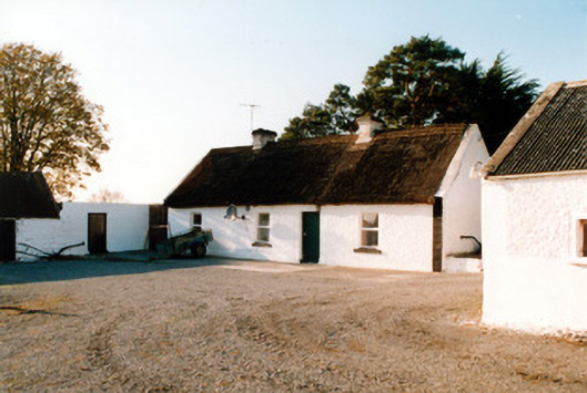 farm housefarm house · 687 yd
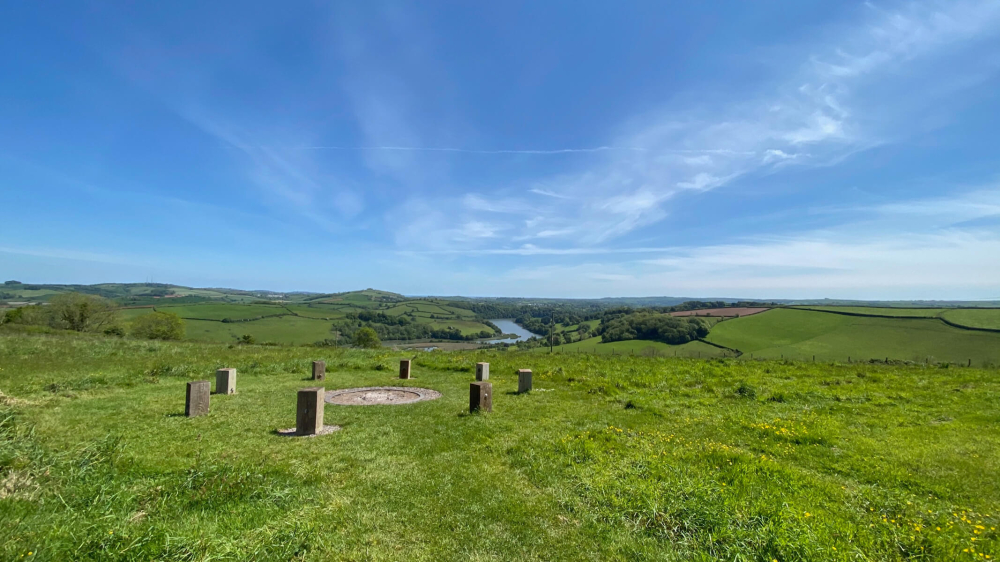 Killaghintober Burial GdBurial ground · 1286 yd
 Castle ArmstrongHouse, fortified house · 1.2 mi
 Kilnagarnagh Old Ho.Castle, unclassified · 1.3 mi
 European ashEuropean ash · 2.1 mi
 Inchaloon IslandIslet · 3.7 mi
 Endrim HillMountain / peak · 3.9 mi
 Saint Reaghan's WellSpring · 4.0 mi
 Ballylin Bog BoardwalkHeritage attraction · 4.1 mi
 Cocta HillMountain / peak · 4.2 mi