What is recorded here
The site (L 59.464m; Wth 2.8m; D 0.35m) is orientated WNW-ESE but appears to change orientation midway along its length, running ENE-WSW, then resuming a WNW-ESE orientation. It consists of radially split oak planks, which are widely spaced and longitudinally laid. Most sightings are of single planks but at two locations are pairs of parallel planks (av. Wth 0.2m; av. D 0.06m) set 0.1-0.3m apart. Additional structural elements include a split oak peg at one sighting and the incorporation of two pieces of light brushwood at another. Woodworking is evidenced by mortices in three of the planks and by a number of planks with faint, degraded toolmarks at their ends. The site is situated in moderately to well-humified Sphagnum peat with Eriophorum, Phragmites, ericaceous remains and a large amount of natural wood and leaves. The site has been dendrochronologically dated to 954±9 BC or later (Q9518). SMR OF007-110---- is located c. 1.5m to the S and was dendrochronologically dated to 956±9 BC or later (Q9521). The two sites may be related.
Compiled by: Irish Archaeological Wetland Unit (University College Dublin).
Date of upload: 23 May 2011
The monument record does not grant public access. Check the route and ask the landowner before entering private land.
- What survives
- Recorded monument
Places near here
 RoadRoad, class 3 togher · 129 yd
 StructureStructure, peatland · 146 yd
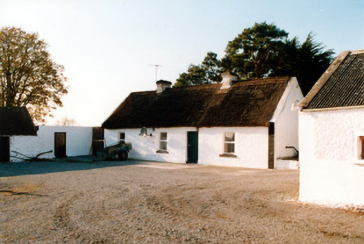 farm housefarm house · 714 yd
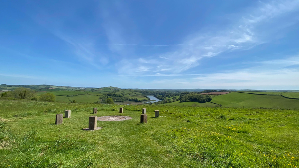 Killaghintober Burial GdBurial ground · 1307 yd
 Kilnagarnagh Old Ho.Castle, unclassified · 1.2 mi
 Castle ArmstrongHouse, fortified house · 1.3 mi
 European ashEuropean ash · 2.1 mi
 Inchaloon IslandIslet · 3.7 mi
 Endrim HillMountain / peak · 3.9 mi
 Saint Reaghan's WellSpring · 4.0 mi
 Ballylin Bog BoardwalkHeritage attraction · 4.1 mi
 Cocta HillMountain / peak · 4.2 mi