What is recorded here
Grave Yard occupies a narrow knoll in County Leitrim, marked only by a dotted rectangle on an 1835 map and a vague tradition that Mass was once celebrated there. A laneway now cuts across the buried place, stripping it of boundary and memory. What remains is a ghost of a graveyard, perhaps older than the road, holding names the land has forgotten.
Located on a knoll (diam. of top c. 20m) in pasture towards the bottom of the E-facing slope of a drumlin ridge. It is depicted by a dotted line as a rectangular enclosure (dims c. 35m NW-SE; c. 25m NE-SW) described as a 'Grave Yard' in italic lettering only on the 1835 edition of the OS 6-inch map. There is a vague tradition that Mass may have been celebrated here and it may have been an early Roman Catholic church (Gallogly 1991, 11). A N-S laneway runs over the location and no archaeological feature is visible at ground level.
The above description is derived from 'The Archaeological Inventory of County Leitrim' compiled by Michael J. Moore (Dublin: Stationery Office, 2003). In certain instances the entries have been revised and updated in the light of recent research.
Date of upload: 23 September 2008
The monument record does not grant public access. Check the route and ask the landowner before entering private land.
- What survives
- Recorded monument
Places near here
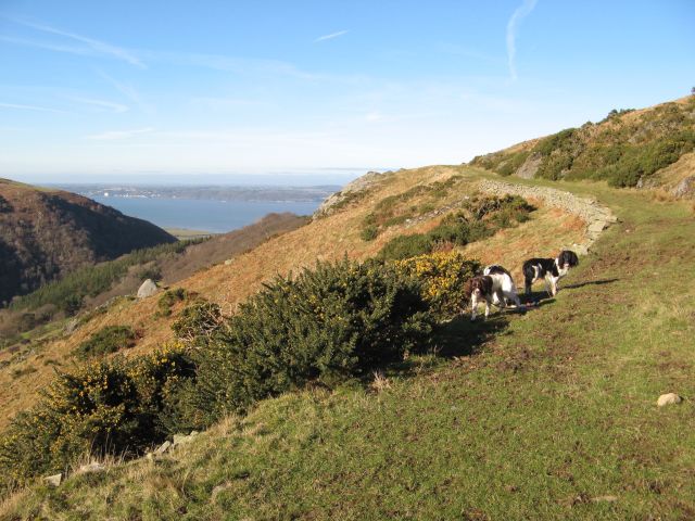 Embanked enclosureFairy fort / earthen ringfort · 1535 yd
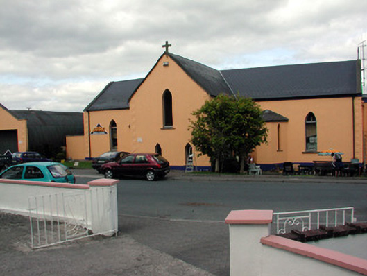 church/chapelchurch/chapel · 1.1 mi
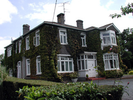 Maryvillehouse · 1.1 mi
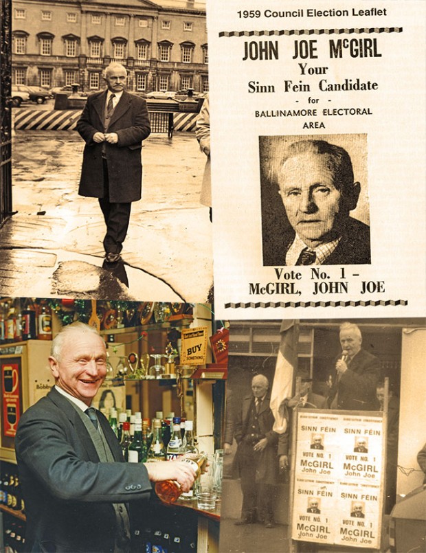 John Joe McGirlMonument · 1.2 mi
 Swan Island pet farmHeritage attraction · 2.8 mi
 DrumbadMountain / peak · 2.9 mi
 Bawn in Cherry IslandBawn · 3.5 mi
 Cherry IslandIslet · 3.5 mi
 DrumgownaghMountain / peak · 3.6 mi
 Buck IslandIsland · 3.6 mi
 BatteryBawn · 3.6 mi
 Cromlin Bridge WoodWood · 4.0 mi