What is recorded here
Kill is likely to have originated in an early monastic foundation (KD019-008002-), and although no visible surface traces survive, the OSL (Herity 2002, 23 (65)) suggest the monastery lay on the site of, or near, the 19th century St John's Church. Bradley et al (1986 vol. 3, 296-8) agree and suggest that the long, sweeping bend in the road, to SW, W and N of the church may reflect the line of an early ecclesiastical enclosure. In 1993, pre-development archaeological test-trenching (Licence no. 93E0059: www.archaeology.ie) led to further testing in 1996 (Licence no. 96E079: www.archaeology.ie) and the discovery of portion of a probable ecclesiastical enclosure. A broad, U-shaped fosse (Wth 4.3m; D 1m) was found running roughly E-W (traceable L c. 25m) c. 45m to the SW of St John's Church, but no associated finds were uncovered. Its presence suggests that the sweeping bend in the road to the SW and W of the church may have been curved to avoid the enclosure's line, or may represent the line of a second, outer enclosing element.
Compiled by: Gearóid Conroy
Date of upload: 10 June 2011
The monument record does not grant public access. Check the route and ask the landowner before entering private land.
- What survives
- Recorded monument
Places near here
 Saint John's Church (Kill)church/chapel · 3 yd
 Ecclesiastical site in Kill WestEcclesiastical site · 15 yd
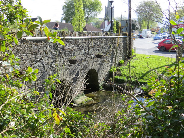 bridgebridge · 125 yd
 Kill MoatCastle, motte and bailey · 409 yd
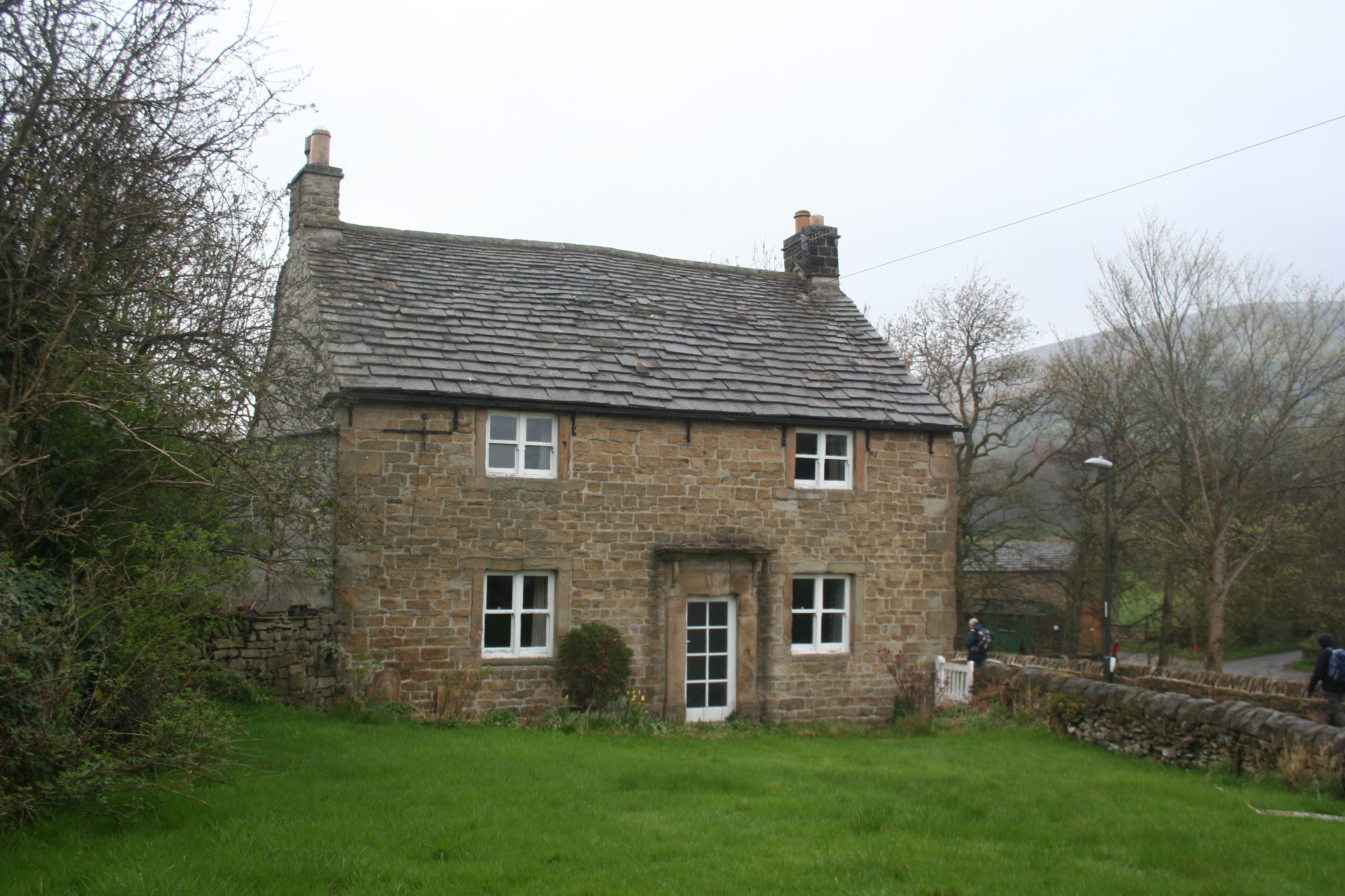 Enclosure in KillhillEnclosure · 547 yd
 McCullagh's WoodWood · 1594 yd
 Hartwell CastleCastle, unclassified · 1603 yd
 Common LimeCommon Lime · 1.3 mi
 Athgoe HillMountain / peak · 4.2 mi
 Cupidstown HillMountain / peak · 4.2 mi
 Saint Finian's WellSpring · 4.7 mi
 Inniscara GalleryGallery · 5.3 mi