What is recorded here
Kill West holds a buried church, a lost headstone and a moat that may have cut through a living town. St John's graveyard keeps the place visible while the older town disappears beneath grass and memory. The chamber is not missing, it is waiting to be remembered.
Situated on rise of ground with Kill Moat (KD019-008004-) 277m to SSE. St. John's C. of I. church stands forming N boundary of rectangular shaped graveyard (KD019-008008-) enclosed by a post-1700 stone wall. This 19th century C of I church probably stands on site of medieval church (KD019-008006-) with late medieval font (KD019-008005-) immediately N of W doorway into C of I church. 17th century headstone recorded by McCabe (2002, 138) with the following inscription;
'PRAY: FOR: THE: SOUL: OF: WILLIAM:LEASIE:WHO:DYED:THE:26th:OF:IANVARY:ANNO: DOMINI: 1699'. The precise location of this headstone within the graveyard was not identified.
Compiled by: Caimin O'Brien
Date of upload: 31 October 2019
The monument record does not grant public access. Check the route and ask the landowner before entering private land.
- What survives
- Recorded monument
Places near here
 Ecclesiastical site in Kill WestEcclesiastical site · 15 yd
 Saint John's Church (Kill)church/chapel · 22 yd
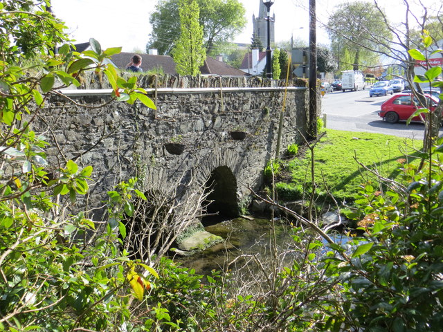 bridgebridge · 139 yd
 Kill MoatCastle, motte and bailey · 389 yd
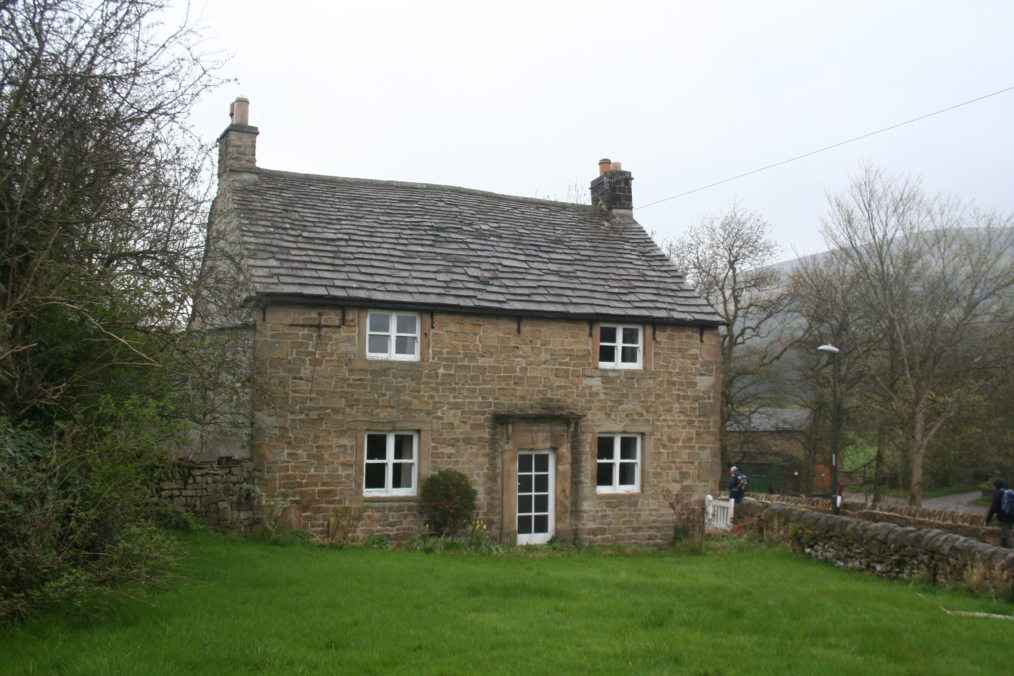 Enclosure in KillhillEnclosure · 529 yd
 Hartwell CastleCastle, unclassified · 1580 yd
 McCullagh's WoodWood · 1616 yd
 Common LimeCommon Lime · 1.3 mi
 Athgoe HillMountain / peak · 4.2 mi
 Cupidstown HillMountain / peak · 4.2 mi
 Saint Finian's WellSpring · 4.7 mi
 Inniscara GalleryGallery · 5.3 mi