What is recorded here
Kilkenny Old Church Graveyard holds a small rubble church beside the Gweebarra river inlet, where two low wall sections still mark the place named by Pococke in 1752. The church stands inside a modern graveyard, with a faint curving bank sweeping around it like an older room forgotten by time. People may have buried their dead there for generations before the chapel became a chapel of ease to Inishkeel, but the stones no longer say when.
A Chapel of Ease (DG065-014001-) to Inishkeel. Pococke (1752, 67) described it as 'an old church called Kilkenny'. Built of rubble, the surviving fragmentary ruins of this church, 9.6m by 4.6m internally, are undateable. The E and W gables are represented by grass-covered footings and only the central sections of the N and S walls 2.2m high remain; at the W end of the latter is the splayed ingoing of a window. The church stands in the middle of a rectangular modern graveyard (DG065-014003-). To the N and W of this graveyard is the outline of a curving enclosure (DG065-0140020. Most of a semicircle can be seen. No sign of the enclosure could be found to the E and S but the modern graveyard and church would have stood roughly at the centre of such a circle had this been originally complete. The enclosure is formed by a grassed-over wall c. 0.25m high and up to 1.4m wide. Sections of the wall-footing are visible. In places, the wall was built along the edge of a slope to the sea. There is a 3.5m gap in the wall to the W where the S side is definitely inturned for 7.3m. The site is located on fair pasture land on the S side of the Gweebarra river inlet.
The above description was derived from the 'Archaeological Survey of County Donegal. A description of the field antiquities of the County from the Mesolithic Period to the 17th century.' Compiled by: Brian Lacey with Eamon Cody, Claire Cotter, Judy Cuppage, Noel Dunne, Vincent Hurley, Celie O'Rahilly, Paul Walsh and Seán Ó Nualláin (Lifford: Donegal County Council, 1983). In certain instances the entries have been revised and updated.
Date of upload: 22 September 2008
The monument record does not grant public access. Check the route and ask the landowner before entering private land.
- What survives
- Recorded monument
Places near here
 Old Church in RuinsChurch · 1 yd
 Former Cullion Fairy FortFairy fort / ringfort · 1379 yd
 TobernameelogeHoly well · 1539 yd
 Wych ElmWych Elm · 1599 yd
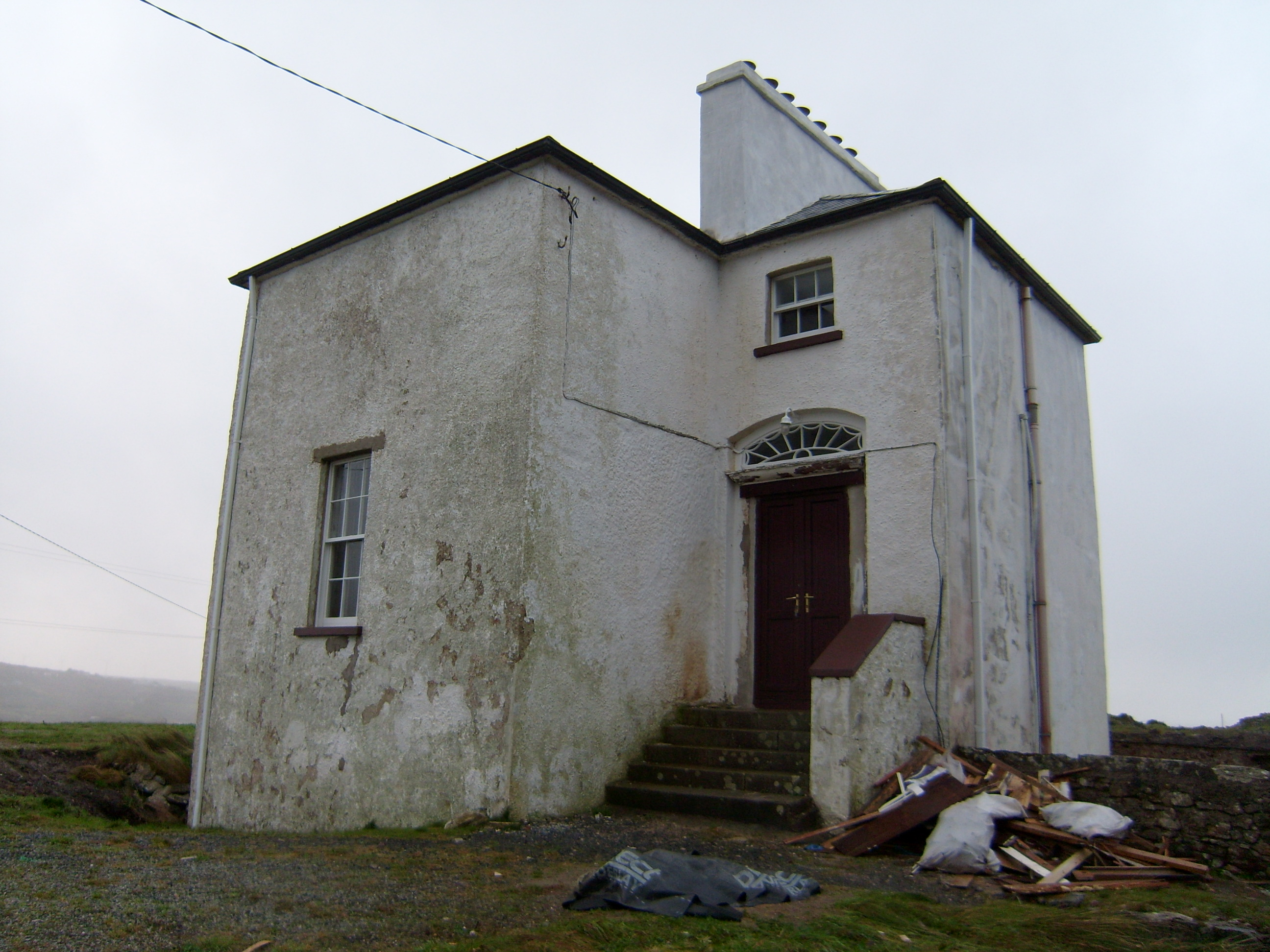 The Old Rectoryrectory/glebe/vicarage/curate's house · 1706 yd
 Bonny Glen Wood - Bonny Glen walkOfficial walking route · 1.9 mi
 Bonny Glen WoodForest recreation place · 2.0 mi
 DooeyOfficial bathing water · 3.0 mi
 Narin–Portnoo StrandOfficial bathing water · 3.8 mi
 St. Connell's Museum and Heritage CentreMuseum · 4.0 mi
 InishkeelIslet · 4.1 mi
 Doon FortFairy fort / stone ringfort · 4.4 mi