
What is recorded here
Kilgobbin holds a vanished enclosure beside a ringfort, yet no wall, ditch or shadow remains for eyes to catch. The land may have worn the boundary flat while people lived nearby, but the absence resists every attempt to picture it. What was kept inside, and who stood outside watching, has left no mark at all.
On a slight W-facing slope, in pasture, with moderate to poor views in all directions. Not depicted on OS historic mapping. Ringfort (LI021-015----) 230m to E. Monument identified as an enclosure in the Adare Bypass Constraint Study (Ref. 53/A/5, p. 65). Monument surveyed by the ASI in 2000 and described as no surface remains visible. Monument is not visible on Digital Globe orthophotos taken 2011-13 or on Google Earth orthoimages taken 28/06/2018.
See attached Google Earth orthoimage.
Compiled by: Alison McQueen and Vera Rahilly
Date of upload: 31 July 2020
The monument record does not grant public access. Check the route and ask the landowner before entering private land.
- What survives
- Recorded monument
Places near here
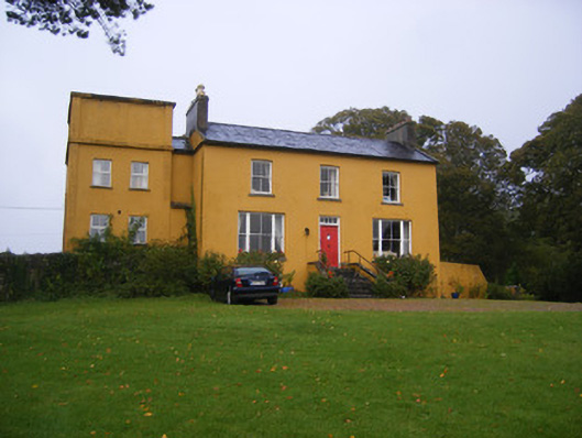 Clonunion Househouse · 878 yd
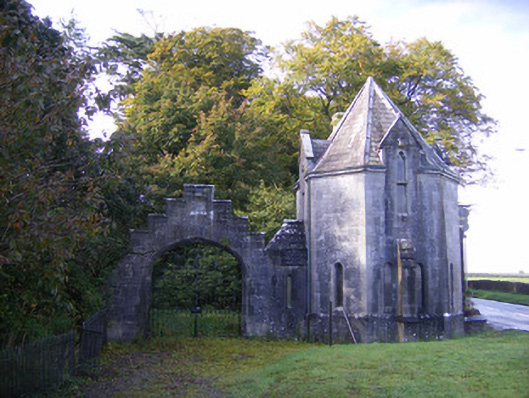 Adare Manorgate lodge · 1188 yd
 Franciscan AbbeyArchaeological place · 1614 yd
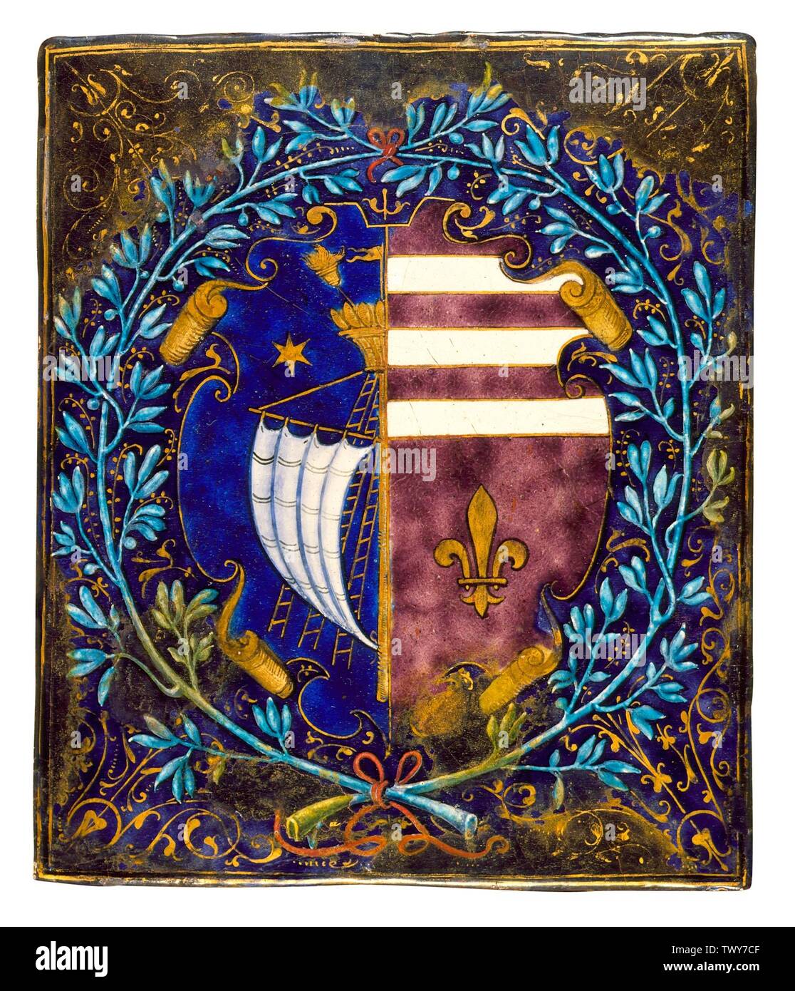 Armorial plaque in AdareArmorial plaque · 1664 yd
 European BeechEuropean Beech · 1.0 mi
 European YewEuropean Yew · 1.1 mi
 Desmonds Castle (in ruins)Castle, Anglo-Norman masonry castle · 1.1 mi
 Adare Desmond CastleMedieval castle · 1.1 mi
 Desmond CastleHeritage attraction · 1.1 mi
 CastleCastle, tower house · 1.3 mi
 Adare Tourist OfficeVisitor information · 1.6 mi
 Biodiversity in the Maigue CatchmentVisitor information · 4.3 mi
Other information
Photo: Credit not shown in the picture search · Rights wording not checked; contact us if this picture should be removed