What is recorded here
In improved pasture, on a N-facing slope. Circular area (map dims. c. 30m NE-SW; c. 20m NW-SE) defined by scarp (Wth 2-3m; H 1.2-1.55m) intervening fosse (Wth 6.3m; D 0.45m) WNW-SW and outer bank (Wth 3.9m; int. H 0.75m; ext. H 0.4m) visible at NNE only and obscured by vegetation NNE-ESE. The fosse has been deepened and widened (Wth 6.7m; D 1.2m) SW-WNW in antiquity, possibly to create the field boundary to the W. There is a possible entrance (Wth 4m) at N. The interior has a gentle NE-facing slope and is obscured by dense vegetation in the NE half.
Compiled by: Jean Farrelly
Date of upload: 26 August 2011
The monument record does not grant public access. Check the route and ask the landowner before entering private land.
- What survives
- Recorded monument
Places near here
 Enclosure in Templenoe (templenoe Par.)Enclosure · 859 yd
 Site of ChurchChurch · 944 yd
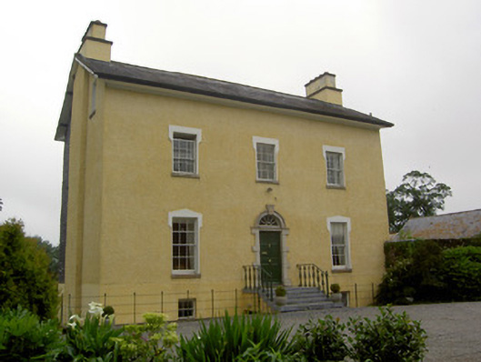 The Gleberectory/glebe/vicarage/curate's house · 976 yd
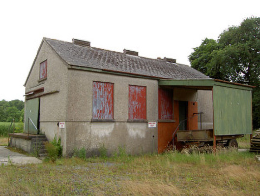 Grantstown Creamerycreamery · 1.2 mi
 Old CastleRuins · 1.3 mi
 European ashEuropean ash · 1.3 mi
 Kilfeakle Castle (in ruins)Castle, tower house · 1.4 mi
 I.R.A. 3rd. Tipperary Brigade MemorialMemorial · 2.6 mi
 Soloheadbeg Ambush SiteMemorial · 2.8 mi
 Soloheadbeg Ambushambush · 2.9 mi
 It's a long way to TippereryHeritage attraction · 3.3 mi
 Maudemount BogWood · 3.6 mi