What is recorded here
In pasture, on a SE-facing slope. An oval area (map dims. c. 40m N-S; c. 30m E-W) defined by scarp (Wth 1.3-1.6m; H 0.7-0.75m) and external fosse (Wth 3.6m; D 0.25m) SE-WSW and NW-NE. There is a modern gap in the scarp at W. The fosse is waterlogged SW-WSW and is obscured by briars NE-E. Soft ground at the base of scarp E-SE may suggest that the fosse is backfilled. A shallow drain (long axis NW-SE) enters the fosse at W and an earthen pile on the fosse exterior at W may be up-cast from the drain. Most of interior is obscured by briars and is not visible.
In pasture, on a SE-facing slope. An oval area (map dims. c. 40m N-S; c. 30m E-W) defined by scarp (Wth 1.3-1.6m; H 0.7-0.75m) and external fosse (Wth 3.6m; D 0.25m) SE-WSW and NW-NE. There is a modern gap in the scarp at W. The fosse is waterlogged SW-WSW and is obscured by briars NE-E. Soft ground at the base of scarp E-SE may suggest that the fosse is backfilled. A shallow drain (long axis NW-SE) enters the…
From the National Monuments Service (Archaeological Survey of Ireland) record TS059-086
The monument record does not grant public access. Check the route and ask the landowner before entering private land.
- What survives
- Recorded monument
Places near here
Photo credits
- National Inventory of Architectural Heritage
- Willow, Wikimedia Commons · CC BY 2.5
- Garry Dickinson, Wikimedia Commons · CC BY-SA 2.0
- Dublin Castle RIC, Wikimedia Commons · Public domain
- Graham Horn, Wikimedia Commons · CC BY-SA 2.0
- Garry Dickinson, Geograph · CC BY-SA 2.0
- Colin Park, Geograph · CC BY-SA 2.0
- EamonnPKeane, Wikimedia Commons · CC0
- kevin higgins, Wikimedia Commons · CC BY-SA 2.0
- Hywel Williams, Geograph · Creative Commons Attribution-ShareAlike 2.0
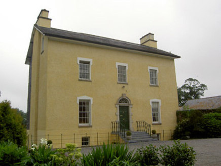 The GlebeRectory/glebe/vicarage/curate's house · 651 yd
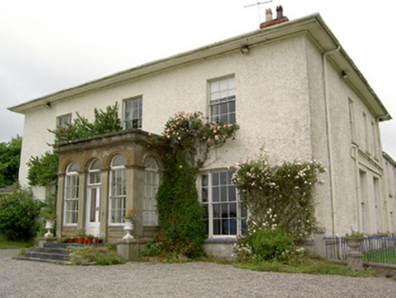 Greenane HouseCountry house · 1424 yd
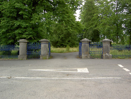 Greenane HouseGates/railings/walls · 1.0 mi
 European ash1.5 mi
_-_geograph.org.uk_-_6501949.jpg/250px-Castles_of_Munster,_Kilfeakle,_Tipperary_(1)_-_geograph.org.uk_-_6501949.jpg "Photo: Garry Dickinson, Wikimedia Commons · CC BY-SA 2.0") Kilfeakle Castle (in ruins)Castle, tower house · 1.8 mi
Kilfeakle Castle (in ruins)Castle, tower house · 1.8 mi Soloheadbeg AmbushAmbush · 2.4 mi
 The Maid of ErinMemorial · 3.1 mi
 Bansha CastleCastle · 4.1 mi
 The RockViewpoint · 5.0 mi
 Standing stone in Longstone (cullen Par.)Standing stone · 7.6 mi
 LyracappulMountain / peak · 11 mi
 Ladys WellHoly well · 13 mi
More archaeology and monuments in County Tipperary · All of County Tipperary
What do you know about this place?