
More pictures of this place


What is recorded here
The ordinary view hides the useful part of the story. The elegant tooled stonework seen in the tall chimneystacks with their bracketed cornice as well as in the coping detail on the gable walls elevate this public building.
Detached five-bay single-storey railway station, built c.1855 by the Great Southern and Western Railway Co., flanked by set back single-bay single-storey snecked limestone structures and with porch added to front. Pitched tiled roof with terracotta ridge tiles, tooled limestone chimneystacks and tooled limestone coping to gable ends. Limestone cladding to south west elevation. Snecked limestone to north east elevation with modern porch clad in limestone. Timber casement windows with limestone sills.
The elegant tooled stonework seen in the tall chimneystacks with their bracketed cornice as well as in the coping detail on the gable walls elevate this public building.
Tullamore railway station continues to be used and connects many Irish towns and cities. Built in the mid nineteenth century, the station expresses a notable design. Though adapted over time, it still retains its character, proportion and style. The elegant tooled stonework seen in the tall chimneystacks with their bracketed cornice as well as in the coping detail on the gable walls elevate this public building.
The story behind this place
The elegant tooled stonework seen in the tall chimneystacks with their bracketed cornice as well as in the coping detail on the gable walls elevate this public building.
This does not grant access. Most recorded buildings are privately owned; view them only from public ground unless the owner allows entry.
Places near here
 Tullamore Railway Stationfoot bridge · 25 yd
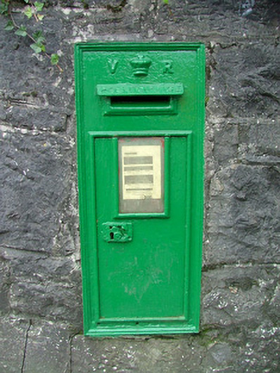 post boxpost box · 75 yd
 Field system in Ballydrohid,ballynagh,srah (ballycowan By.)Field system · 876 yd
 Bawn in BallydrohidBawn · 954 yd
 Srah CastleRuins · 962 yd
 Pedunculate OakPedunculate Oak · 1064 yd
 Enclosure in Ballydrohid,ballynagh,srah (ballycowan By.)Enclosure · 1122 yd
 Charleville ForestWood · 1679 yd
 Grand Canal WayWalking route · 1.1 mi
 Christ's WellSpring · 1.4 mi
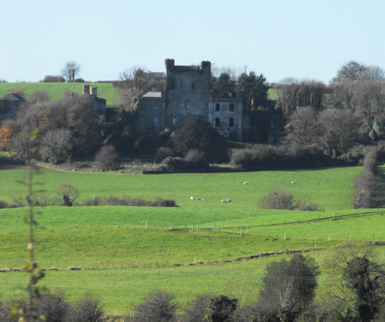 St O'Hara's HillMountain / peak · 1.8 mi
 Sugar HillMountain / peak · 2.6 mi
Other information
Photo: The Carlisle Kid · CC BY-SA 2.0