What is recorded here
Marked only on the 1940 ed. of the OS 6-inch map, and situated at the bottom of the NW-facing slope of Tara Hill. The top of the stone (H 0.25m) is protruding through the top of a field bank (H c. 1m) and appears to be oriented E-W.
The above description is derived from the published 'Archaeological Inventory of County Wexford' (Dublin: Stationery Office, 1996). In certain instances the entries have been revised and updated in the light of recent research.
Compiled by: Michael Moore
Date of upload/revision: 15 March 2012
Likely dating to the Neolithic or Early Bronze Age, this standing stone may have served a ritual or territorial function, possibly linked to the broader ceremonial landscape of Tara Hill. No specific folklore or detailed archaeological investigation has been recorded for this site.
The monument record does not grant public access. Check the route and ask the landowner before entering private land.
- What survives
- Recorded monument
Places near here
 CastleCastle, unclassified · 702 yd
 Embanked enclosureFairy fort / earthen ringfort · 892 yd
 St Winifreds WellHoly well · 988 yd
 Church in Kilcavan LowerChurch · 1080 yd
 Tara HillMountain / peak · 1119 yd
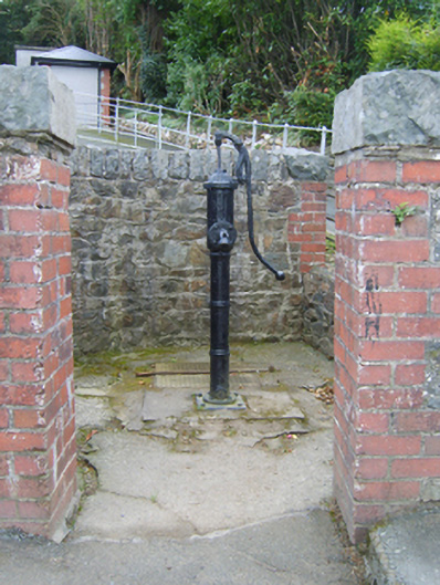 water pumpwater pump · 1503 yd
 Kia Ora Mini FarmHeritage attraction · 2.1 mi
 Curragh WoodWood · 2.5 mi
 Johnston's gumJohnston's gum · 2.7 mi
 Duffcarrig Rocks BeachBeach / strand · 2.9 mi
 Market HouseHeritage attraction · 3.3 mi
 1798 MonumentMemorial · 3.7 mi