What is recorded here
Kilcarrig once held a substantial earthen ringfort, roughly thirty-five metres across, built with two banks and a cutting though farmers later levelled the northern part and erased most surface traces. People called it a fairy fort, likely projecting human fear or wonder onto an abandoned human dwelling. The earth swallowed the stones and walls, leaving behind a flat field and a name that suggests the dead still occupy the land.
The following description is derived from the published 'Archaeological Inventory of County Carlow' (Dublin: Stationery Office, 1993). In certain instances the entries have been revised and updated in the light of recent research.
Date of upload/revision: 17 July 2007
Recorded in 1975 as having two banks and fosse (est diam. c. 35m) (OPW file). Clearly visible on aerial photographs (CUCAP AYL 16-19) with N portion levelled. No visible surface traces.
A fairy fort / earthen ringfort in Kilcarrig is a circular earthwork enclosure typical of early-medieval Ireland, likely dating to between the 5th and 10th centuries. Local tradition associates such sites with fairy folk, and they were often avoided for fear of disturbing supernatural inhabitants.
The monument record does not grant public access. Check the route and ask the landowner before entering private land.
- What survives
- Recorded monument
Places near here
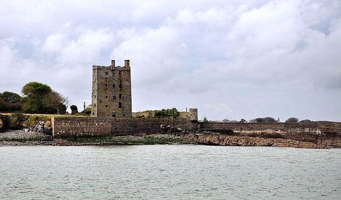 Enclosure in KilcarrigEnclosure · 253 yd
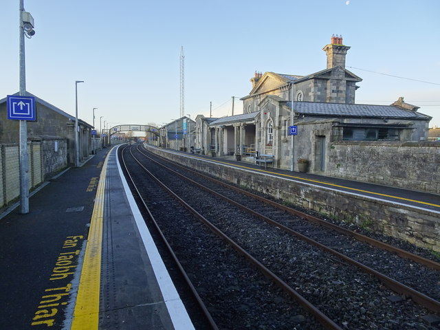 Bagenalstown Railway Stationfoot bridge · 845 yd
 Wych ElmWych Elm · 948 yd
 Kilmolappoge Church (site of), Kilmolappoge WellChurch · 970 yd
 Saint Andrew's Catholic Churchchurch/chapel · 1256 yd
 The Columban WayVisitor information · 1376 yd
 Lock Keeper's House and Lodge MillsVisitor information · 1.1 mi
 Sweet ChestnutSweet Chestnut · 1.3 mi
 CastleCastle, motte · 1.3 mi
 Dunleckny Ho.Castle, unclassified · 1.4 mi
 Church (in ruins), GraveyardChurch · 1.9 mi
 Church, GraveyardChurch · 3.1 mi