
What is recorded here
Kilmolappoge Church and Holy Well stand on an irregular circular platform in County Carlow, enclosed by a fosse and external bank that still rise above the ground. A rectangular granite structure lies off-centre within the enclosure, its foundations pointing east-southeast and west-northwest as if aligned to something invisible rather than convenient. The causeway at the north-northwest suggests people crossed this boundary deliberately, perhaps carrying water from the holy well or leaving offerings beside the church. What happened here is no longer written in stone, but the shape of the place still asks to be walked, watched and remembered.
The following description is derived from the published 'Archaeological Inventory of County Carlow' (Dublin: Stationery Office, 1993). In certain instances the entries have been revised and updated in the light of recent research.
Date of upload/revision: 17 July 2007
Named as Kilmolappoge Church and Holy Well on 1839 'OS 6-inch' map, probably a mapping error, since this name is given to another site (CW016-074----) on the 1938-9 ed. Present remains consist of irregular but possibly originally circular platform (47.7m E-W, 54m NNE-SSW) enclosed by fosse with external bank, best preserved at W (D of fosse 1m below ext. bank; Wth 6m; ext. H of bank 1.3m; Wth c. 7m). Causeway at NNW. Foundations of rectangular granite structure (dims. c 11m x 5m) off-centre of enclosure, orientated ESE-WNW with possible entrance at W.
The monument record does not grant public access. Check the route and ask the landowner before entering private land.
- What survives
- Recorded monument
Places near here
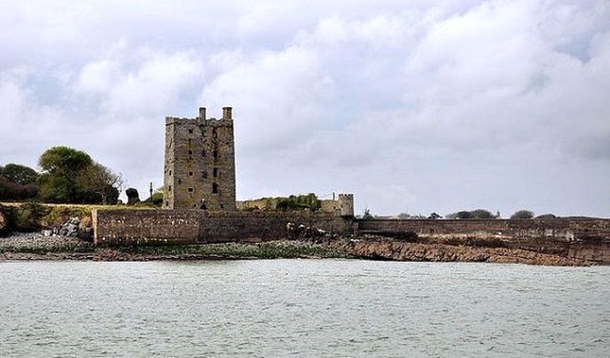 Enclosure in KilcarrigEnclosure · 719 yd
 Enclosure in DonoreEnclosure · 781 yd
 Wych ElmWych Elm · 1492 yd
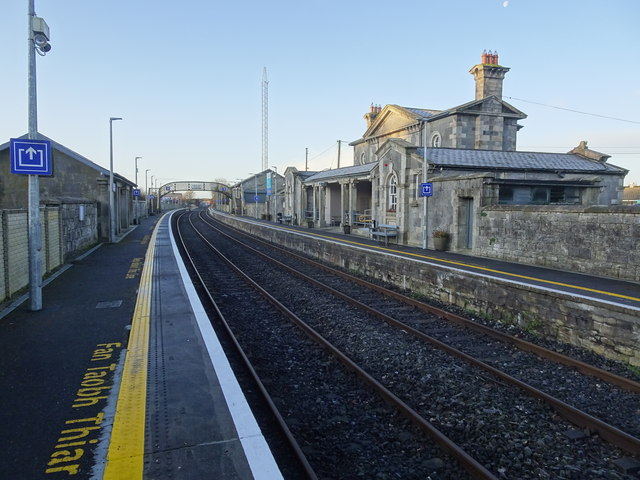 Bagenalstown Railway Stationfoot bridge · 1595 yd
 Sliguff Locklock · 1647 yd
 The Columban WayVisitor information · 1.2 mi
 Lock Keeper's House and Lodge MillsVisitor information · 1.4 mi
 Sweet ChestnutSweet Chestnut · 1.9 mi
 Church (in ruins), GraveyardChurch · 1.9 mi
 CastleCastle, motte · 1.9 mi
 Dunleckny Ho.Castle, unclassified · 1.9 mi
 Church, GraveyardChurch · 3.5 mi
Other information
Photo: Credit not shown in the picture search · Rights wording not checked; contact us if this picture should be removed