What is recorded here
The following description is derived from the published 'Archaeological Inventory of County Carlow' (Dublin: Stationery Office, 1993). In certain instances the entries have been revised and updated in the light of recent research.
Date of upload/revision: 17 July 2007
On summit of steep-sided, slightly elongated hillock and enclosed by large bank. Well defended, prominent location, very overgrown at time of inspection (dims. 70m NW-SE, 60m NE-SW).
The monument record does not grant public access. Check the route and ask the landowner before entering private land.
- What survives
- Recorded monument
Places near here
 Kilmolappoge Church (site of), Kilmolappoge WellChurch · 719 yd
 Enclosure in KilreeEnclosure · 927 yd
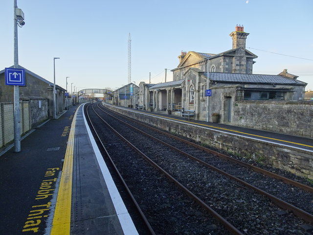 Bagenalstown Railway Stationfoot bridge · 983 yd
 Wych ElmWych Elm · 1057 yd
 Saint Mary's Church (Dunleckny)church/chapel · 1396 yd
 The Columban WayVisitor information · 1533 yd
 Lock Keeper's House and Lodge MillsVisitor information · 1.2 mi
 Sweet ChestnutSweet Chestnut · 1.5 mi
 CastleCastle, motte · 1.5 mi
 Dunleckny Ho.Castle, unclassified · 1.5 mi
 Church (in ruins), GraveyardChurch · 1.9 mi
 Church, GraveyardChurch · 3.2 mi
Other information
Photo: Credit not shown in the picture search · Rights wording not checked; contact us if this picture should be removed