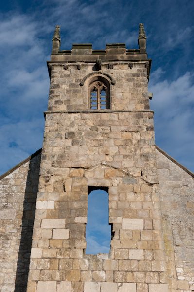
What is recorded here
Settlement deserted is a settlement deserted (medieval) in Kilbride North, County Waterford, Ireland. Power (1895b, 137) described possible traces of early and extensive occupation near the ruin of St Bridgid's church, consisting of mounds and lines of earthwork enclosing square spaces. An ancient road leading in a northerly direction could be traced for some distance between its earthen ramparts according to that account, but these features are not visible at ground level where clearance cairns are present.
Power (1895b, 137) describes a possible deserted settlement as follows: 'Close by the ruin [St Bridgid's church; WA017-050001-] are traces of early and extensive occupation in the shape of mounds and lines of earthwork enclosing square spaces. An ancient road, leading in a northerly direction, can be traced for some distance between its earthen ramparts.' These are not visible at ground level and there are clearance cairns at the site.
Compiled by: Michael Moore, Paul Walsh
Date of upload/revision: 26 March 2013
The monument record does not grant public access. Check the route and ask the landowner before entering private land.
- What survives
- Recorded monument
Places near here
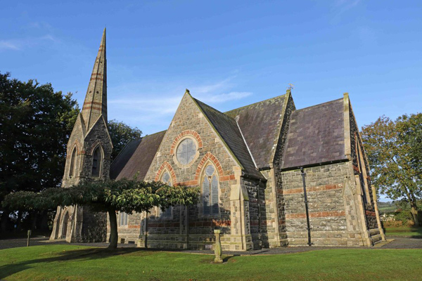 St, Brigets Church (in ruins)Church · 27 yd
 IndicatedRoad, road/trackway · 75 yd
 Enclosure in Kilbride NorthEnclosure · 80 yd
 Cullen Castle (in ruins)Castle, tower house · 782 yd
 Enclosure in Munmahoge (middlethird By., Kilbride Par.)Enclosure · 944 yd
 Sugar Loaf RockMountain / peak · 1.5 mi
 Tramore Tourist OfficeVisitor information · 2.0 mi
 Tourist InformationVisitor information · 2.2 mi
 Doneraile WalkWalking route · 2.3 mi
 Mote or TumulusCastle, motte · 2.5 mi
 Tramore Dunes WalkWalking route · 2.5 mi
 Ballyscanlon HillMountain / peak · 2.9 mi
Other information
Photo: Credit not shown in the picture search · Rights wording not checked; contact us if this picture should be removed