What is recorded here
Fairy fort / earthen ringfort in Kilbrennan is a fairy fort or earthen ringfort in Kilbrennan, County Westmeath, Ireland. Situated on a slight rise on the north face of a long low east-west ridge, the roughly circular site is defined by a low earthen bank with an external fosse and lacks any visible entrance feature. Dense cover of trees and bushes made the monument difficult to examine, and the 1818 Boyd Belvedere Map of Kilbrennan townland depicts the location as a tree plantation rather than as an antiquity.
On a slight rise of ground, on N face of a long low E-W ridge. Monument difficult to examine due to dense cover of trees and bushes. Roughly circular-shaped area defined by a low earthen bank with external fosse. No visible entrance feature. Depicted as a tree plantation and not as antiquity, on the 1818 Boyd Belvedere Map of Kilbrennan townland (WCL/M/BBE/6).
Compiled by: Caimin O’Brien
Date of upload: 31 July 2013
The monument record does not grant public access. Check the route and ask the landowner before entering private land.
- What survives
- Recorded monument
Places near here
 OutlinedEnclosure · 528 yd
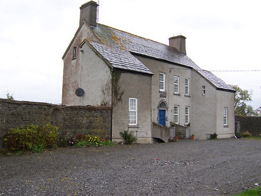 West Househouse · 1584 yd
 Partially hachuredFairy fort / earthen ringfort · 1756 yd
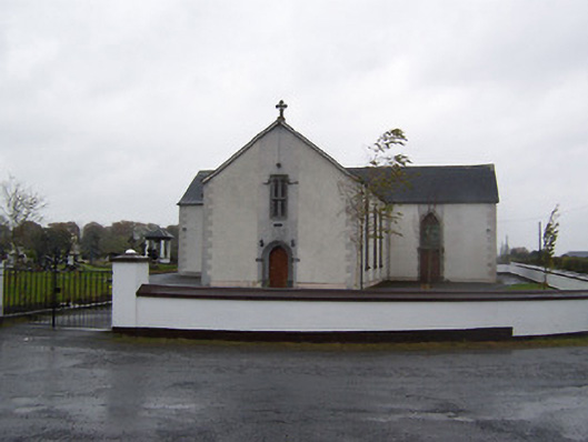 Catholic Church of the Sacred Heartchurch/chapel · 1.1 mi
 Castlelost MoatCastle, motte and bailey · 1.2 mi
 CastleCastle, tower house · 1.3 mi
 Dysart IslandIsland · 3.8 mi
 Ash IslandIslet · 4.1 mi
 Derrygreenagh HillMountain / peak · 4.7 mi
 Knockdrin HillMountain / peak · 5.7 mi
 Ardan WoodWood · 5.9 mi
 Ecclesiastical enclosure in CastlelostEcclesiastical enclosure · 1.1 mi