What is recorded here
On the SE-facing slope of a low ridge, in hummocky terrain under pasture. The Clodiagh River flows to the S and E. The SW side faces towards The Gap in the Comeragh Mountains. Another standing stone (WA006-069----) is visible 100m to the ENE. A sandstone conglomerate (H 1.05m) with its long axis running NW-SE, rising to a peak at the SE. The stone is subrectangular in plan, being concave on the SW face (L 0.7m) and convex on the NE face (L 0.6m). It is a maximum of 0.3m thick, tapering to 0.2m on the NW face and 0.18m on the SE face. There is no visible evidence of packing stones around the base.
Compiled by: Jean Farrelly
Date of upload: 30 April 2013
Probably dating to the Late Neolithic or Bronze Age, this standing stone may have had ritual or territorial significance, possibly aligned with landscape features or celestial events. Local folklore sometimes associates such stones with ancient heroes or supernatural beings.
The monument record does not grant public access. Check the route and ask the landowner before entering private land.
- What survives
- Recorded monument
Places near here
 IndicatedFairy fort / ringfort · 837 yd
 (Site of) Kilbrack ChurchChurch · 871 yd
 Water millWater mill, horizontal-wheeled · 1348 yd
 Knocknacreha Housefarm house · 1.2 mi
 Curraheen TrailsVisitor information · 1.3 mi
 Bawn in RathgormuckBawn · 1.5 mi
 The Boolas LoopWalking route · 1.7 mi
 The Boolas Linear TrailWalking route · 2.3 mi
 MoteCastle, motte and bailey · 2.4 mi
 Knockanaffrin South TopMountain / peak · 2.4 mi
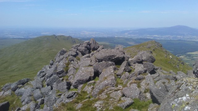 KnockanaffrinMountain / peak · 2.4 mi
 Glen Poer WoodForest · 2.9 mi