What is recorded here
Three parallel roundwoods (diam. 0.06-0.1m) on the field surface (L 1.4m; Wth 1.28m; D 0.04m). The elements lie in well-humified Sphagnum peat with a high amount of Eriophorum and some ericaceous remains and are in moderate condition. Recorded by the Irish Archaeological Wetland Unit (University College, Dublin) in 2003. The evidence is not sufficient to warrant its acceptance as the remains of an archaeological monument.
The original survey description was compiled by the Irish Archaeological Wetland Unit (University College, Dublin). Assessed and revised by: Caimin O'Brien, Paul Walsh
Date of upload: 23 May 2011
The monument record does not grant public access. Check the route and ask the landowner before entering private land.
- What survives
- Recorded monument
Places near here
 RoadRoad, class 2 togher · 220 yd
 StructureStructure, peatland · 993 yd
 Cashlan BrockCastle, tower house · 997 yd
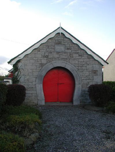 forge/smithyforge/smithy · 1513 yd
 The Lord's WellSpring · 1534 yd
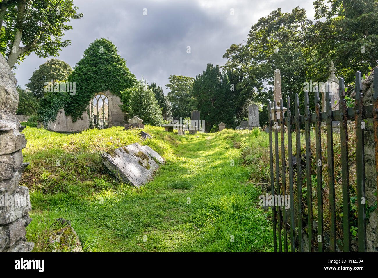 Relic Grave Yard (Disused)Fairy fort / earthen ringfort · 1666 yd
 Bawn in BallykeanBawn · 1.0 mi
 Ghaugher HillMountain / peak · 3.0 mi
 Father BurbageMemorial · 3.3 mi
 Mountlucas Wind Farm Visitors CentreVisitor information · 3.3 mi
 Geashill Glebe WalkVisitor information · 3.3 mi
 Allen family memorial headstoneMemorial · 3.4 mi