
What is recorded here
The site (L 74.55m min.; Wth 1.75m; D 0.05m min.) is orientated ESE-WNW. At its WNW extent it consists of two closely laid timbers, one longitudinal (L 1.05m; W 0.175m) and one transverse (L 1.75m; W 0.08m), directly beside which are two pegs. The longitudinal timber is tangentially split while the conversion of the transverse could not be ascertained. The pegs (diam. 0.09-0.11m) have been flattened to angles of 30° max. While both of the timbers are fragmentary and in a poor condition the pegs are well preserved. A further two pegs (diam. 0.05-0.095m) are located c. 8m to the E and are set at angles of up to 10° max. This sighting lies in poor to moderately humified Sphagnum peat with Eriophorum and ericaceous remains. Further sightings survive only as lines of paired pegs (diam. 0.02-0.12m). They are in good condition and wood working is evidenced by metal-cut toolmarks.
Compiled by: Irish Archaeological Wetland Unit (University College Dublin).
Date of upload: 23 May 2011
The monument record does not grant public access. Check the route and ask the landowner before entering private land.
- What survives
- Recorded monument
Places near here
 Cashlan BrockCastle, tower house · 845 yd
 StructureStructure, peatland · 1016 yd
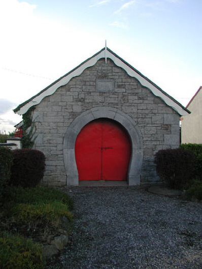 forge/smithyforge/smithy · 1309 yd
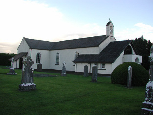 Catholic Church of the Immaculate Conceptionchurch/chapel · 1366 yd
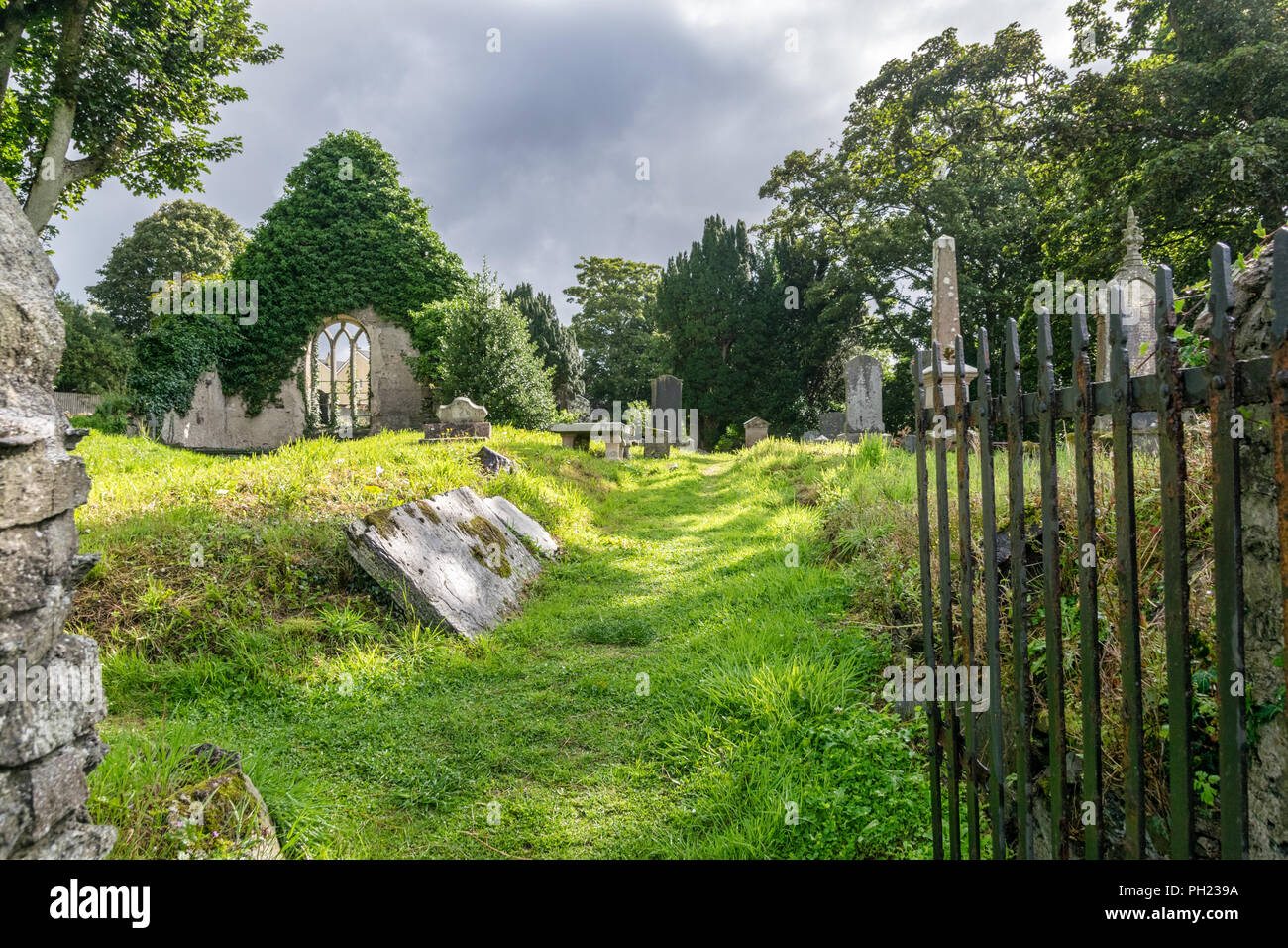 Relic Grave Yard (Disused)Fairy fort / earthen ringfort · 1529 yd
 The Lord's WellSpring · 1683 yd
 Raheenakeeran Castle (in ruins)Castle, unclassified · 1757 yd
 Ghaugher HillMountain / peak · 3.0 mi
 Mountlucas Wind Farm Visitors CentreVisitor information · 3.3 mi
 Allen family memorial headstoneMemorial · 3.3 mi
 Father BurbageMemorial · 3.4 mi
 Geashill Glebe WalkVisitor information · 3.5 mi
Other information
Photo: Credit not shown in the picture search · Rights wording not checked; contact us if this picture should be removed