What is recorded here
Fairy fort / earthen ringfort in Kilbalraherd is a fairy fort or earthen ringfort in Kilbalraherd, County Westmeath, Ireland. A 1978 survey by the ASI described a roughly circular area, measuring thirty metres north to south and twenty-seven metres east to west, defined by a low scarp that is best preserved from north to west to south. The survey noted very slight traces of a bank of earth and stone at the upper edge of the scarp, along with a possible fosse at its foot that is visible only on the north and northwest sides. The interior was recorded as overgrown with thorn trees and churned up by cattle, with stones lying about, including some set in a straight line running northeast to southwest just west of the centre.
Monument surveyed by ASI in 1978 and described as following; 'A roughly circular area (diam. 30m N-S; 27m E-W) defined by a low scarp. There are very slight traces of a bank of earth and stone at the upper edge of the scarp and of a possible fosse at its foot. The fosse is only visible on the N and NW and is not discernible elsewhere; it is very faint and indefinite. The scarp is best preserved from N-W-S but it is low all round. The bank is low and defaced and is only really discernible at the S. The perimeter has been defaced in a number of places by cattle and large stones have been dumped on it on the E. However there are traces of what may have been a stone facing to the scarp from N-W-S but it is not clear whether this is an original feature or not. There is no indication of an entrance. The interior is overgrown with thorn trees and the surface has been churned up by cattle. The interior rises slightly from all sides towards the centre. There are a number of stones lying about some of which seem to be set in a straight line running NE-SW just W of centre, a possible wall? There is also a low scarp with stones set on it running NE-SW to the SE of centre. The significance of these walls(?) is not clear. There is no definite plan recognisable and I cannot discern the hut mentioned in the pencilled note on the OS 6-inch map. The entire site is very overgrown with thorn trees and bushes. The site is on a natural rise in undulating pasture land. The site is overlooked by a low ridge to the N and NE but there are good views to the W and S' (SMR File 21/09/1978).
Compiled by: Caimin O'Brien
Date of upload: 18 February 2013
The monument record does not grant public access. Check the route and ask the landowner before entering private land.
- What survives
- Recorded monument
Places near here
 IndicatedEnclosure · 255 yd
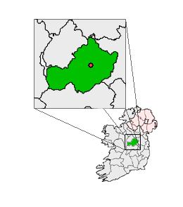
 Enclosure in KilbalraherdEnclosure · 790 yd
 Partially outlinedCastle, unclassified · 1506 yd
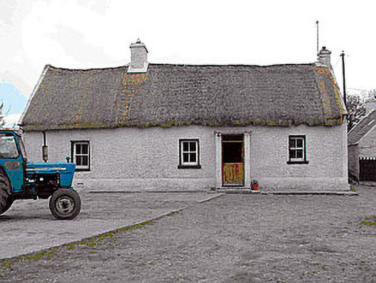 farm housefarm house · 1716 yd
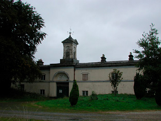 Middleton Park Houseoutbuilding · 1.0 mi
 Castletown MoatCastle, motte and bailey · 1.3 mi
 Ardan WoodWood · 5.1 mi
 Sam's ParkForest · 5.1 mi
 Bonfire HillMountain / peak · 5.1 mi
 Hill of UisneachMountain / peak · 5.4 mi
 Kilmalady HillMountain / peak · 5.6 mi
 St. Columba's WellSpring · 6.9 mi