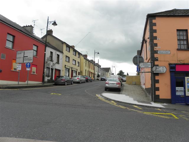
What is recorded here
Indicated is a low earthen ring in County Cavan, marked Fort on old maps yet possibly never built by human hands. Its oval shape, southern gap and faint ditch invite imagination, but Davies doubted it was a true rath. The land may have simply risen into a circle, waiting for people to project memory and myth upon its quiet edges.
Marked 'Fort' on OS 1836 and 1876 eds. Raised oval area (int. dims. 35.4m N-S; 30.2m E-W) enclosed by a low earthen bank and traces of a fosse identifiable only from NW-NE. Break in bank at S may represent original entrance. Davies (ITA Survey1942) believed it to be more likely a landscape feature than a rath.
The above description is derived from the published 'Archaeological Inventory of County Cavan' (Dublin: Stationery Office, 1995). In certain instances the entries have been revised and updated in the light of recent research.
Date of upload/revision: 22 December 2008
The monument record does not grant public access. Check the route and ask the landowner before entering private land.
- What survives
- Recorded monument
Places near here
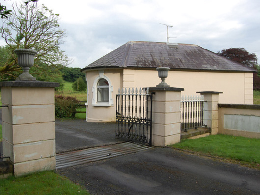 gate lodgegate lodge · 201 yd
 Castle CosbyCastle, unclassified · 541 yd
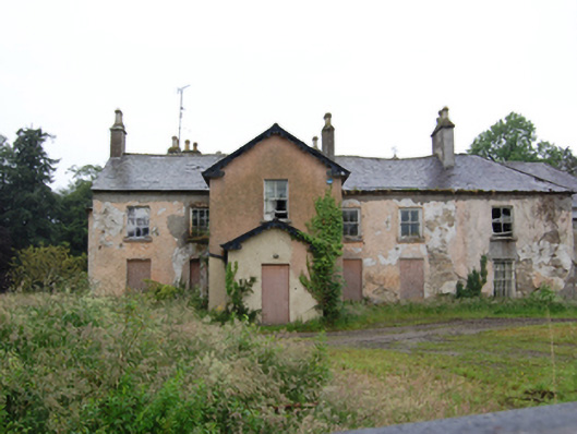 Lismore Lodgesteward's house · 969 yd
 BellvilleMountain / peak · 1294 yd
 Lismore CastleCastle, unclassified · 1380 yd
 Drumbar ForestForest · 1417 yd
 LismoreFairy fort / earthen ringfort · 1554 yd
 Fleming's FollyForest · 1644 yd
 Captain Thomas Sheridan IRAMonument · 1.0 mi
 DrumcarbanMountain / peak · 1.5 mi
 Cornafean GFCMemorial · 2.9 mi
 Carricknagore RockNamed rock · 3.2 mi
Other information
Photo: Credit not shown in the picture search · Rights wording not checked; contact us if this picture should be removed