
What is recorded here
Indicated is a faded fairy fort at the NE end of a Kildare pasture ridge, its thirty-seven-metre circle reduced to a low earthen bank and shallow ditch. It is the kind of place where human urgency collapses into grass and forgetfulness, yet the boundary remains visible enough to suggest that someone once drew a line around the world. The land has spent centuries smoothing that decision, but it never fully erased the shape.
At the NE end of a low NE-SW pasture ridge. A poorly preserved roughly circular area (diam. 37m E-W) is defined by a low overgrown, earthen bank (int H 0.3-0.6m; Wth 1.5m; ext H 1.2m) and shallow outer fosse (Wth 2.1m; D 0.3-0.5m).
Compiled by: Gearóid Conroy
Date of upload: 12 September 2013
The monument record does not grant public access. Check the route and ask the landowner before entering private land.
- What survives
- Recorded monument
Places near here
 Castle in ruinsCastle, unclassified · 1.2 mi
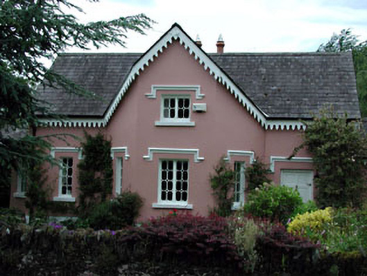 Peacock Cottagehouse · 1.3 mi
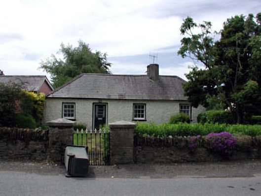 Oakwood Cottagehouse · 1.3 mi
 Site of ChurchChurch · 1.4 mi
 Enclosure in GormanstownEnclosure · 1.6 mi
 Glen WoodWood · 2.2 mi
 Castlefish (in Ruins)Castle, unclassified · 2.5 mi
 Coillte ForestForest · 2.6 mi
 Burial ground in CrehelpBurial ground · 3.0 mi
 Memorial to 1798 rebellionMonument · 3.2 mi
 1798 memorial stoneMonument · 3.2 mi
 Saint Kevin's CaveMemorial · 3.6 mi
Other information
Photo: Credit not shown in the picture search · Rights wording not checked; contact us if this picture should be removed