
What is recorded here
In level pasture. Visible on a high altitude aerial photograph (GSI N 352, 353) as the cropmark of a fosse enclosing a circular area (est max diam. c. 40m)
Compiled by: Gearóid Conroy
Date of upload: 16 September 2013
The monument record does not grant public access. Check the route and ask the landowner before entering private land.
- What survives
- Recorded monument
Places near here
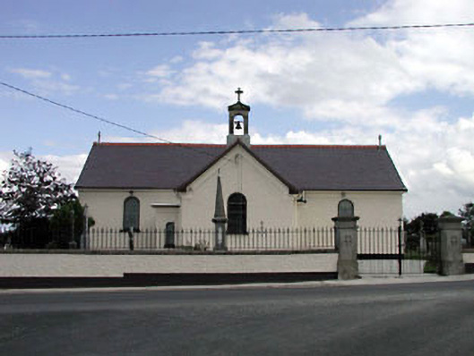 Saint Joseph's Catholic Churchchurch/chapel · 820 yd
 Site of ChurchChurch · 1614 yd
 Castlefish (in Ruins)Castle, unclassified · 1636 yd
 IndicatedFairy fort / earthen ringfort · 1.6 mi
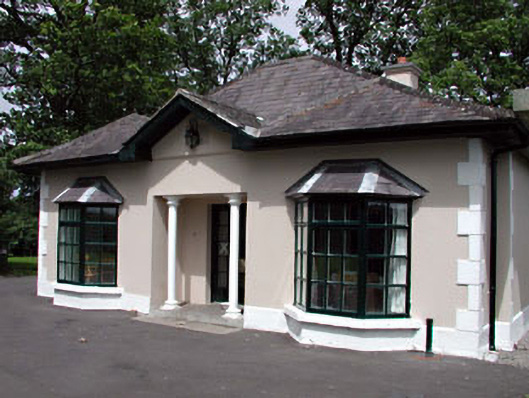 Gilltown Housegate lodge · 1.7 mi
 Coillte ForestForest · 2.1 mi
 CastleCastle, unclassified · 2.2 mi
 Glen WoodWood · 2.4 mi
 1798 memorial stoneMonument · 2.8 mi
 Burial ground in CrehelpBurial ground · 4.0 mi
 Battle of Kilrushbattle · 6.4 mi
 SugarloafMountain / peak · 8.8 mi
Other information
Photo: Credit not shown in the picture search · Rights wording not checked; contact us if this picture should be removed