What is recorded here
Kellysgrove holds a rectangular scar of grass-covered banks and hollows, stretching two hundred metres across undulating Galway ground. Local tradition claims the earthwork marks a pre-famine village, suggesting ordinary lives once moved through those now-empty channels before disaster emptied them. The shape remains visible enough to walk, large enough to contain rooms, yards and streets, yet no building stands to prove the memory true.
In undulating grassland. Roughly rectangular area c. 200m E-W by 150m N-S comprising a series of grass-covered banks and hollows. According to local tradition, it is the site of a pre-famine village. An enclosure (GA087-119----) lies c. 200m to NW.
The above description is derived from the published 'Archaeological Inventory of County Galway Vol. II - North Galway'. Compiled by Olive Alcock, Kathy de hÓra and Paul Gosling (Dublin: Stationery Office, 1999).
Date of upload: 05 August 2010
The monument record does not grant public access. Check the route and ask the landowner before entering private land.
- What survives
- Recorded monument
Places near here
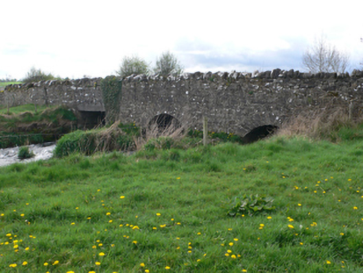 Ballinure Bridgebridge · 556 yd
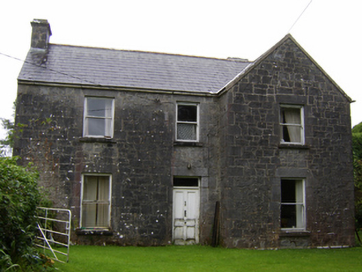 Rosglosshouse · 922 yd
 LisleaArchaeological place · 1566 yd
 Field system in AbbeyparkField system · 1.2 mi
 Ballagh Castle (in Ruins)Castle, unclassified · 1.9 mi
 Urraghry HillMountain / peak · 1.9 mi
 Ardcarn IslandsIslet · 2.1 mi
 West WoodWood · 2.1 mi
 Bawn in Townparks (moycarn By. - Ballinasloe)Bawn · 2.6 mi
 The bloody HollowHeritage attraction · 2.9 mi
 European BeechEuropean Beech · 3.0 mi
 Battle of AughrimMajor battlefield · 3.1 mi