What is recorded here
On a gentle S-facing slope in rolling landscape under tillage. Excavated in 2007 in advance of the N9/N10 Kilcullen to Waterford road improvement scheme (Licence no. E3575). A field system consisting of three E-W boundary ditches and an associated linear furrow. These were dated to the medieval period on the basis of medieval pottery (13th-century Kilkenny-type ware) in their fills. The boundaries extend beyond the limits of the excavation to the W. Post-medieval features including structures, linear drains, ditches and furrows relating to a farmstead were excavated in the same area. A field system (KK027-017----) lies c. 200m to the NW. (Kyle 2010, 250, no. 947; Kyle and Coughlan 2012)
Compiled by: Mary Tunney
Date of upload: 11 December 2013
The monument record does not grant public access. Check the route and ask the landowner before entering private land.
- What survives
- Recorded monument
Places near here
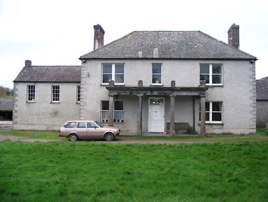 Kellsborough Househouse · 750 yd
 Enclosure in Rathduff LowerEnclosure · 813 yd
 Enclosure in LawcusEnclosure · 847 yd
 Coortaur Castle (in ruins)Castle, unclassified · 1270 yd
 Prior's TowerCastle · 1291 yd
 Abbey (in ruins)Religious house, Augustinian canons · 1329 yd
 Kells Augustinian PrioryHeritage attraction · 1405 yd
 Kells Loop WalkWalking route · 1519 yd
 Kells Priory Mill MuseumMuseum · 1575 yd
 Famous Horses of KellsMemorial · 1754 yd
 RIC BarracksMemorial · 1.0 mi
 Lacken WellSpring · 1.2 mi