What is recorded here
No human has broken the circle since the last farm lane turned away. The fort stands complete beneath grass and alder shadow, waiting for the person who remembers why it was built. What is missing is not stone or time. What is missing is the last witness who saw it finish.
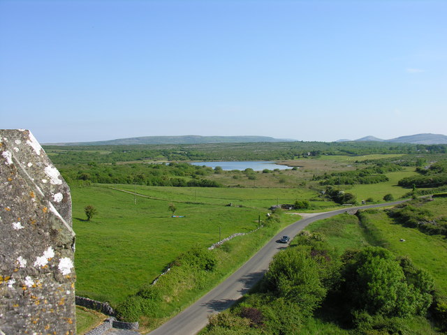
On a low E-W ridge in pasture. Hachured on both the first (1842) and Cassini (1920) editions of the OS 6-inch map. Listed as ‘Enclosure’ in the RMP (1996). This subcircular cashel (int. diams. 26.1m E-W; 22.3m N-S; ext. diams. 30.3m E-W; 27.7m N-S) is defined by grass-covered collapse (Wth 3-4m; H c. 0.2-0.5m) from a stone wall (est. Wth 2-2.6m), the inner facing stones of which (H 0.3m) are visible for a short stretch at W. The collapse is clearest from S-W but the external collapse seems to have been removed at N and E. A later drystone wall (Wth 0.5m; H 0.5m) overlies the cashel’s probable outer wall-face and the perimeter is overgrown by alder trees SW-W-NW, with some bushes also growing outside from NE-SE-SW.
Compiled by: Gearóid Conroy and Conn Herriott
Date of upload: 29-10-2025
The monument record does not grant public access. Check the route and ask the landowner before entering private land.
- What survives
- Recorded monument
Places near here
 Enclosure in KellsEnclosure · 271 yd
 CrossCross, High cross · 761 yd
 Ballyportry Castlecastle/fortified house · 866 yd
 Ballyporty Castle (in ruins) / TowerCastle, tower house · 866 yd
 IndicatedBawn · 866 yd
 Church in KellsChurch · 1310 yd
 Battle of TullyodeaBattlefield · 1.6 mi
 Rock IslandIsland · 2.0 mi
 Inchiquin IslandIslet · 2.1 mi
 Burren National ParkVisitor information · 3.0 mi
 Ballygriffy WoodWood · 3.6 mi
 Dromore WoodWood · 3.6 mi