What is recorded here
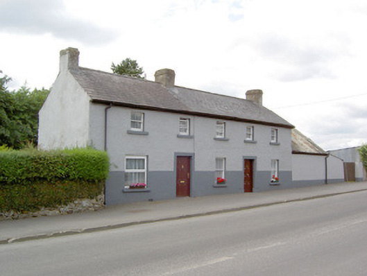
Attached three-bay two-storey (northwest) and two-bay two-storey houses, built c. 1840, now in single ownership. Building to southeast end formerly also in use as a shop. Pitched artificial slate roof with rendered chimneystacks and cast-iron rainwater goods. Painted roughcast rendered walls with lined-and-ruled rendered section to ground floor. Square-headed diminishing window openings with painted stone sills and one-over-one timber sliding sash windows. Wide square-headed window opening to the building to the southeast at ground floor level having replacement window. Square-headed door openings having timber panelled door (northwest) and replacement door (southeast). Attached shed to northwest having corrugated-metal roof and smooth rendered walls. Two-storey return to the rear of building to the northwest. Road-fronted. Located to the northwest end of Main Street, Keenagh.
These simple two-storey houses are of a type that was once a ubiquitous feature of Irish towns and villages but are now becoming increasingly rare. They retain much of their early character and fabric, including timber sliding sash windows, c. 1900. These houses may once have formed part of a terrace, they occupy a prominent position on the main road approaching Keenagh village from the northwest. The wide window opening to the building to the south suggests that it was formerly in use as a shop. These buildings may have been formerly in use as a court house (Ordnance Survey third edition six-inch map 1913). Much of the village of Keenagh was apparently built by the Kingston family of Mosstown House between 1837 – 43 and these buildings may dates to this period.
This does not grant access. Most recorded buildings are privately owned; view them only from public ground unless the owner allows entry.
Places near here
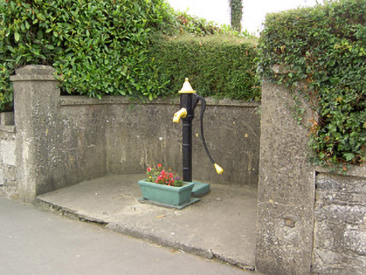 water pumpwater pump · 44 yd
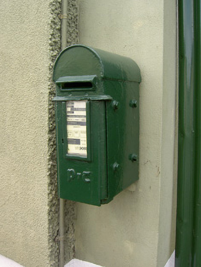 post boxpost box · 54 yd
 CastleCastle, unclassified · 964 yd
 IndicatedFairy fort / earthen ringfort · 1672 yd
 Holy WellHoly well · 1686 yd
 Bawn in BallyknockBawn · 1.2 mi
 Corlea Bog Walk Canal BranchWalking route · 1.3 mi
 Corlea Trackway Interpretative CentreHeritage attraction · 1.4 mi
 Corlea Bog Walk Blue LoopWalking route · 1.6 mi
 Graveyard in Curry (ardagh By., Coolamber Ed)Graveyard · 4.5 mi
 Leveret IslandIslet · 6.5 mi
 Elfeet BayBay · 7.1 mi
Other information
Photo: National Inventory of Architectural Heritage · Website use allowed for educational or private purposes with source credit