
What is recorded here
Partially hachured is a fairy fort or ringfort in Johnstown (moygoish By.), County Westmeath, Ireland. The 1837 OS Fair Plan map depicts the site as an oval-shaped enclosure annotated as a fort with a diameter of approximately 36 metres north-south and 30 metres east-west. Situated on a slight rise on the northwest face of a prominent hill, the levelled monument had no visible surface remains during the survey, though a faint crop mark was visible on a Digital Globe aerial photograph taken in November 2011.
Situated on a slight rise on the NW face of a prominent hill with extensive views from NW-N-NE. The road which marks the townland boundary with Wattstown is 10m to W and the townland boundary with Ballyedward is 50m to N. Depicted on the 1837 OS Fair Plan map as an oval-shaped enclosure annotated as a ‘fort’ (approx. diam. 36m N-S; 30m E-W). No surface remains visible of levelled monument. Visible as a faint crop mark on Digital Globe aerial photograph taken November 2011.
Compiled by: Frank Coyne and Caimin O'Brien
Date of upload: 29 August 2017
The monument record does not grant public access. Check the route and ask the landowner before entering private land.
- What survives
- Recorded monument
Places near here
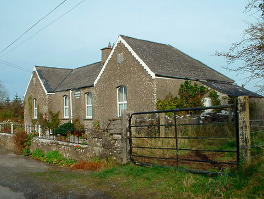 Balrath National Schoolschool · 194 yd
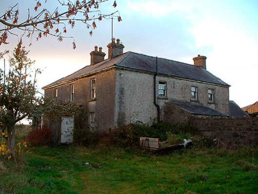 Johnstown Househouse · 1170 yd
 IndicatedBawn · 1265 yd
 Lack LomanArchaeological place · 1.1 mi
 Partially indicatedFairy fort / earthen ringfort · 1.3 mi
 Nugent's CastleCastle · 1.5 mi
 Carrickphilbin IslandIslet · 1.6 mi
 Srudarra IslandIslet · 2.4 mi
 Baronstown ForestWood · 3.4 mi
 Horse-chestnutHorse-chestnut · 3.6 mi
 Bridge Memorial (Kenna)Memorial · 4.0 mi
 Abbeyshrule AbbeyRuins · 9.0 mi
Other information
Photo: Credit not shown in the picture search · Rights wording not checked; contact us if this picture should be removed