What is recorded here
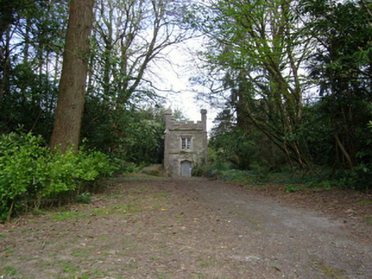
Freestanding single-bay two-stage tower, extant 1840, on a square plan. Now disused. Roof not visible behind parapet with cast-iron hoppers and downpipes. Part creeper- or ivy-covered tuck pointed coursed or snecked rubble stone walls with battlemented pinnacle-topped tooled cut-limestone diagonal stepped buttresses to corners centred on battlemented parapet having lichen-spotted cut-granite roll moulded coping. Tudor-headed door opening with overgrown threshold, and cut-granite surround having chamfered reveals framing replacement sheet steel double doors. Square-headed window openings in bipartite arrangement (second stage) with cut-granite sill course, and cut-granite surrounds having chamfered reveals with hood mouldings framing four-over-four timber sash windows. Square-headed window openings in bipartite arrangement (remainder) with cut-granite sill course, and cut-granite surrounds having chamfered reveals with hood mouldings framing four-over-four timber sash windows. Interior including (second stage) granite flagged floor. Set in landscaped grounds shared with Johnstown Castle.
A folly-like tower contributing positively to the group and setting values of the Johnstown Castle estate with the architectural value of the composition confirmed by such attributes as the compact square plan form; the construction in unrefined local fieldstone offset by silver-grey granite dressings demonstrating good quality workmanship; the elegant bipartite glazing patterns; and the battlemented pinnacles embellishing the roofline.
This does not grant access. Most recorded buildings are privately owned; view them only from public ground unless the owner allows entry.
Places near here
 American SweetgumAmerican Sweetgum · 63 yd
 Japanese cedarJapanese cedar · 163 yd
 Irish Agricultural MuseumMuseum · 183 yd
 Johnstown Castle Visitor CentreHeritage attraction · 224 yd
 CastleCastle, tower house · 294 yd
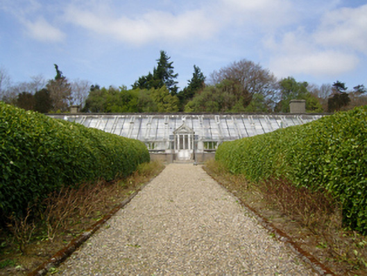 Johnstown Castleglass/green house · 441 yd
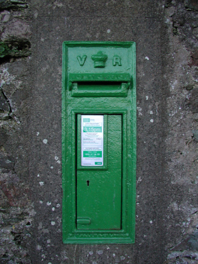 post boxpost box · 1036 yd
 Font in RathaspickFont · 1043 yd
 Dutchmans WellHoly well · 1320 yd
 Castle (in ruinis)Castle, tower house · 1.9 mi
 16th Irish DivisionMemorial · 2.1 mi
 CarrickadeeMountain / peak · 2.9 mi
Other information
Photo: National Inventory of Architectural Heritage · Website use allowed for educational or private purposes with source credit