What is recorded here
Fairy fort / earthen ringfort in Joanstown is a fairy fort or earthen ringfort in Joanstown, County Westmeath, Ireland. It occupies the northeast end of a low ridge running northwest to southeast in wet, partially reclaimed grassland, with bog seventy metres to the northwest and the Inny River three hundred and eighty metres to the southeast. The oval enclosure, roughly twenty-eight metres wide northwest to southeast and thirty-six metres long northeast to southwest, is enclosed by a poorly preserved fragmentary earthen bank, a deep wide fosse, and a substantial outer bank. The outer bank has been levelled from northeast to east, with modern gaps at the southeast and southwest, while the interior slopes slightly from southwest to northeast.
Situated on the NE end of a low ridge running NW-SE in wet partially reclaimed grassland. Bog 70m to NW. Inny River 380m to SE. An oval enclosure (approx. diam. 28m NW-SE; 36m NE-SW) enclosed by a poorly preserved fragmentary earthen bank, a deep wide fosse and substantial outer bank, which has been levelled from NE-E, with modern gaps at SE & SW. The interior slopes slightly from SW-NE. In the SW sector of the interior is a sub-rectangular/trapezoidal shaped platform enclosed by a fosse. On the NE side of the monument is a sub-rectangular annexe (approx. dims 37m NE-SW; 33m NE-SW) enclosed by a poorly preserved earthen bank mainly reduced to a scarp. In the SE sector of the annexe there is a rectilinear platform enclosed by a slight fosse which could be the remains of a hut site but this is uncertain.
Compiled by: Frank Coyne & Caimin O'Brien
Date of upload: 1 February 2017
The monument record does not grant public access. Check the route and ask the landowner before entering private land.
- What survives
- Recorded monument
Places near here
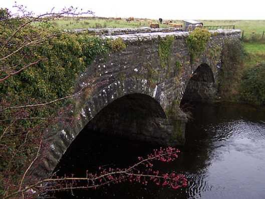 Ballinalack Bridgebridge · 617 yd
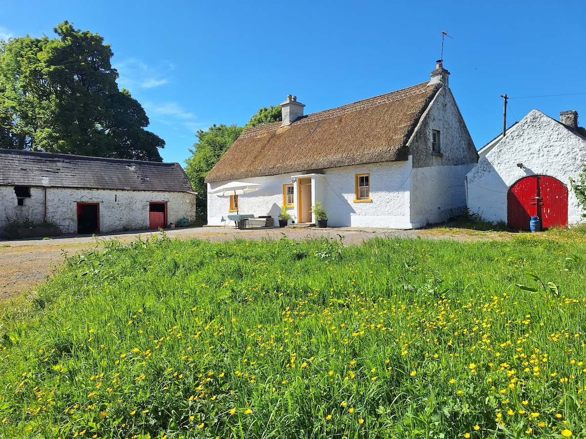 OutlinedCastle, unclassified · 700 yd
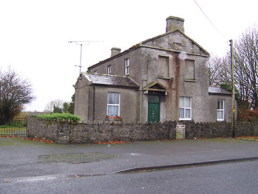 RIC barracksRIC barracks · 807 yd
 CastleCastle, unclassified · 1247 yd
 Crannog in Cullenhugh,lough IronCrannog · 1.2 mi
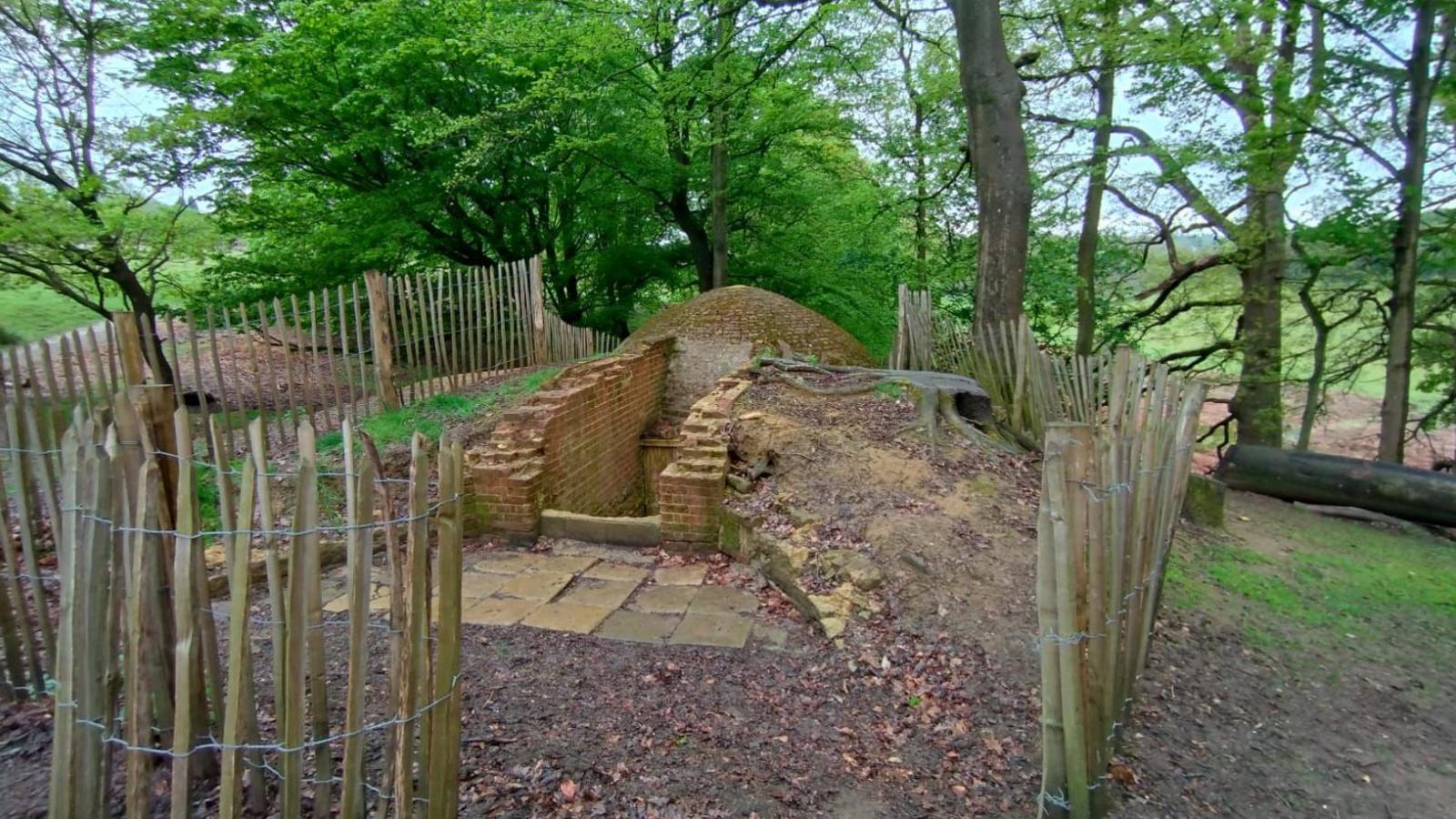 Icehouse in Baronstown DemesneIcehouse · 1.4 mi
 Baronstown ForestWood · 2.2 mi
 Horse-chestnutHorse-chestnut · 2.2 mi
 Rock of CurryCliff · 9.5 mi
 Mullaghmeen ForestPicnic place · 12 mi
 MullaghmeenMountain / peak · 12 mi
 Ballinalack Househouse · 848 yd