
What is recorded here
Indicated is a grass-covered fairy fort on the Tullyskeherny plateau, its square edges softened by centuries of rain and foot traffic. The earth bank still stands half a metre high along the west side, though the east has collapsed into a shallow scar. It may have been a farmhouse, a temple or a child’s imaginary castle, but the shape remains clear enough to walk around at dusk.
Depicted as a subrectangular enclosure on the 1910 ed. of the OS 6-inch map. It is situated on a shelf towards the bottom of a N-facing slope of the Tullyskeherny plateau. Grass-covered subrectangular area (int. dims 21m E-W; 21m N-S) defined by an earth and stone bank (Wth 2-3m; int. H 0.2-0.7m; ext. H 0.65m at W to 1.2m at N) SW-NE, which is reduced to an external scarp (H 0.3m) at E and an internal scarp (H 0.2m) elsewhere. There is no visible fosse or identifiable original entrance.
The above description is derived from 'The Archaeological Inventory of County Leitrim' compiled by Michael J. Moore (Dublin: Stationery Office, 2003). In certain instances the entries have been revised and updated in the light of recent research.
Date of upload: 23 September 2008
The monument record does not grant public access. Check the route and ask the landowner before entering private land.
- What survives
- Recorded monument
Places near here
 Teach AllaisSweathouse · 530 yd
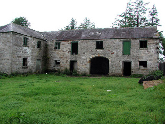 Hollymountoutbuilding · 989 yd
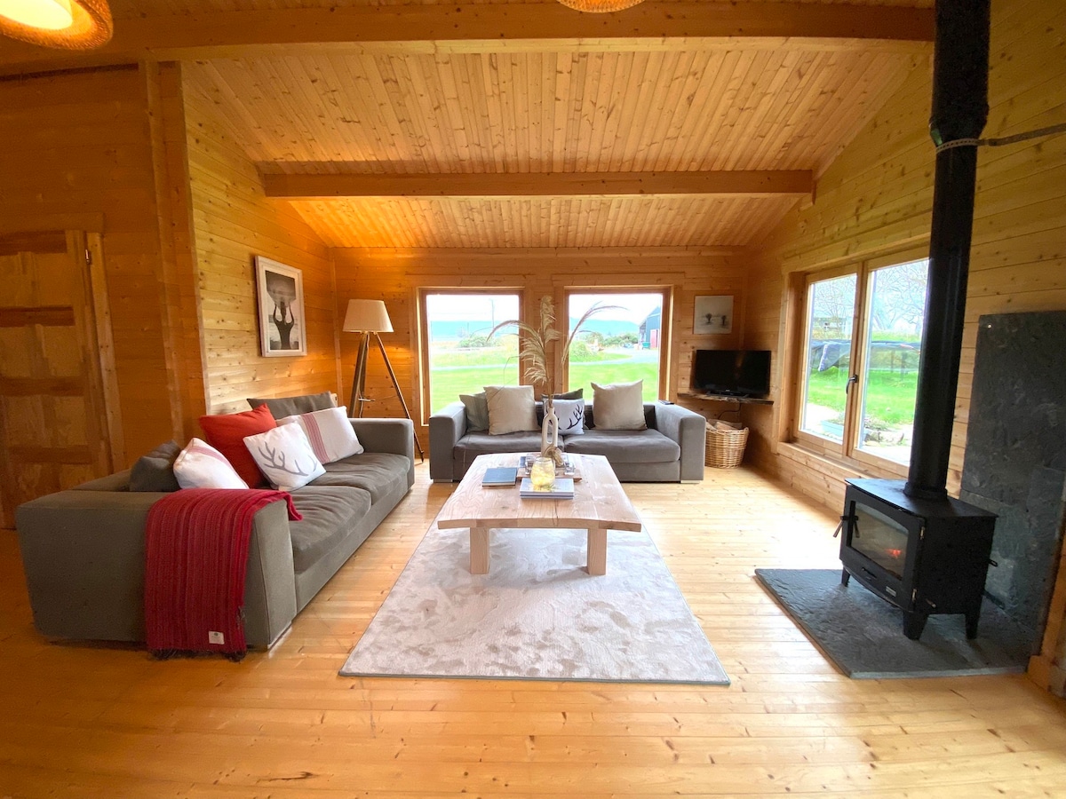 Enclosure in GlenboyEnclosure · 1159 yd
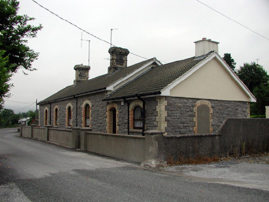 Manorhamilton Railway Stationrailway station · 1431 yd
 The Giants GraveArchaeological place · 1.3 mi
 Giants RockNamed rock · 2.0 mi
 Dough MountainMountain / peak · 3.1 mi
 Kilroosk RockNamed rock · 3.2 mi
 Ballaghnabehy TopMountain / peak · 3.3 mi
 Ashisland WoodForest · 3.8 mi
 Longhill WoodForest · 4.0 mi
 Castle CarCastle · 4.5 mi
Other information
Photo: Credit not shown in the picture search · Rights wording not checked; contact us if this picture should be removed