
What is recorded here
Marked only on the 1943 ed. of the OS 6-inch map where it is described in Irish as 'Teach Allais ', a house of sickness, in italic lettering. it is located on a N-facing slope and in an acute angle between two field banks c. 50m SE of an abandoned building. It is a circular area (int. diam. 1.4m E-W; 1.35m N-S) choked with stones and defined by facing-stones. It is surrounded by a mound (diam. 4.2m N-S; 4.2m E-W; H 0.3-0.7m), and the entrance (Wth 0.35m; H 0.4m) survives at N.
The above description is derived from 'The Archaeological Inventory of County Leitrim' compiled by Michael J. Moore (Dublin: Stationery Office, 2003). In certain instances the entries have been revised and updated in the light of recent research.
Date of upload: 23 September 2008
Teach Allais, marked as a "house of sickness" in Irish, is associated with healing traditions, possibly linked to a local saint or folk remedy. The site's placement in a secluded, natural setting suggests its use as a place of retreat or ritual for those seeking recovery from illness.
The monument record does not grant public access. Check the route and ask the landowner before entering private land.
- What survives
- Recorded monument
Places near here
 IndicatedFairy fort / earthen ringfort · 530 yd
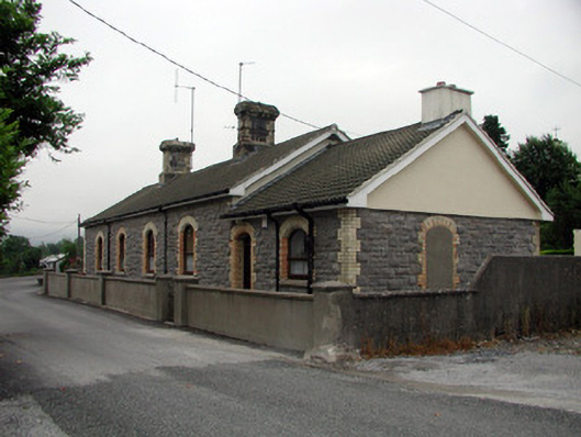 Manorhamilton Railway Stationrailway station · 1118 yd
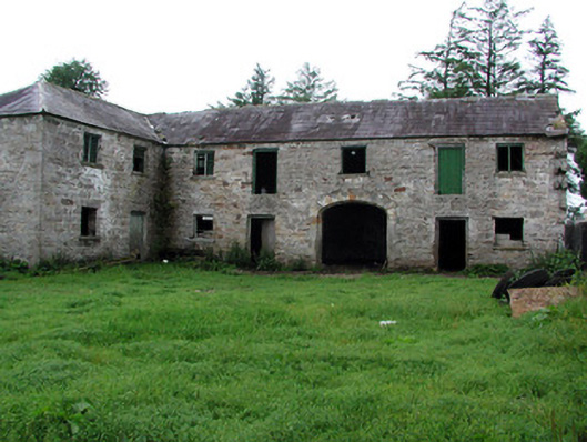 Hollymountoutbuilding · 1270 yd
 Enclosure in GlenboyEnclosure · 1347 yd
 The Giants GraveArchaeological place · 1.1 mi
 Giants RockNamed rock · 1.7 mi
 Kilroosk RockNamed rock · 3.2 mi
 BenboMountain / peak · 3.2 mi
 Dough MountainMountain / peak · 3.4 mi
 Ashisland WoodForest · 3.6 mi
 Longhill WoodForest · 3.8 mi
 Castle CarCastle · 4.3 mi
Other information
Photo: Credit not shown in the picture search · Rights wording not checked; contact us if this picture should be removed