What is recorded here
In pasture, atop ridge. Short stretch of heavily overgrown earthen bank on S is all that survives of site. Stone field fence bisects bank on E and W.
The above description has been derived from D. Lavelle (compiler), An Archaeological Survey of Ballinrobe and District including Lough Mask and Lough Carra. Lough Mask and Lough Carra Tourist Development Association (1994), No. 430.
Date of upload: 28 October 2013
The monument record does not grant public access. Check the route and ask the landowner before entering private land.
- What survives
- Recorded monument
Places near here
 IndicatedFairy fort / stone ringfort · 800 yd
 Church in Rocksborough SouthChurch · 1154 yd
 Church (in Ruins)Church · 1326 yd
 Dormbeg Island NorthIslet · 1456 yd
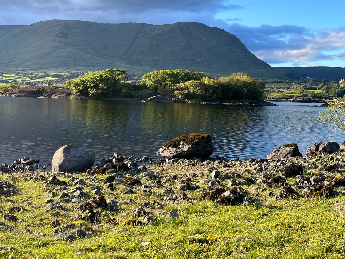 Dormbeg Island SouthIslet · 1523 yd
 CastleCastle, unclassified · 1.1 mi
 EnclosureEnclosure, large enclosure · 1.7 mi
 Caislen-na-CirceCastle, tower house · 1.9 mi
 SycamoreSycamore · 2.5 mi
 Kiltoom PointHeadland · 2.6 mi
 Moore Hall ForestForest · 2.9 mi
 Moore Hall Forest TrailWalking route · 3.1 mi